We 3 started off with optimism that quickly turned to despair. We were unable to find a suitable route up through the deadfall. We ended up skiing across more trees than around ... We turned around about an 1.5 hr in, we didn't even make a 100m of vertical. We did find the snow pack very supportive. That made for easy travel when not negotiating deadfall. I think that skiing down would have been quite good with more snow. I do pity anybody who follows our uptrack...
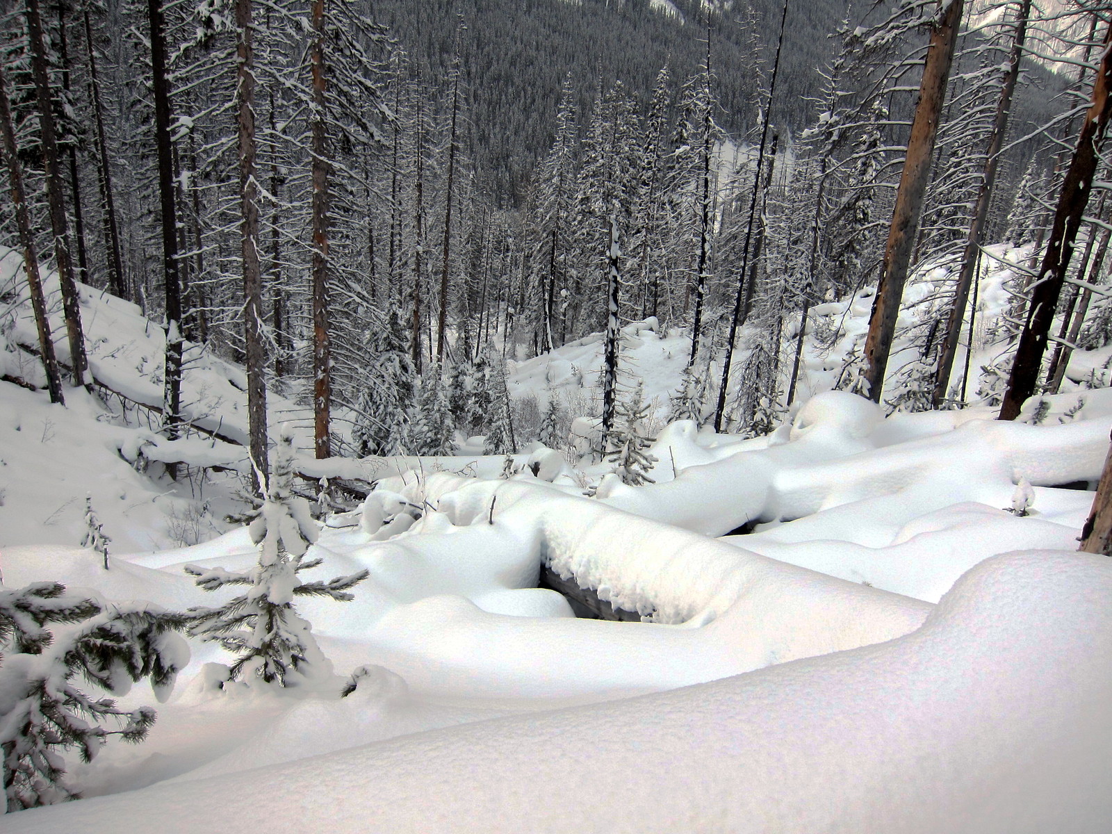
Pretty right..? looking down from our high point (Bill photo)
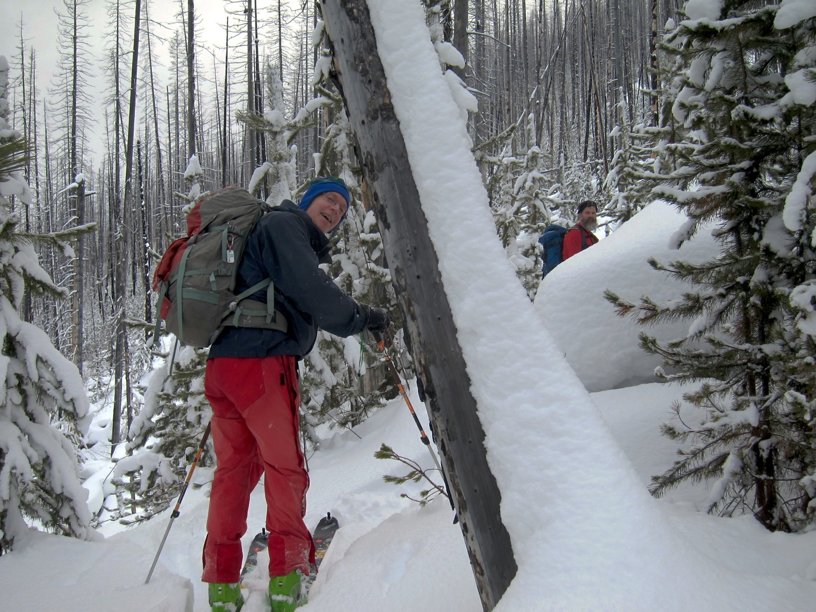
Picking a route through young trees & deadfall
Also as far as route planning for next time.. the slopes directly above the Numa parking have a lot of gullies, less so further south. Go 800m south of parking lot, access the old road way, follow that back 100-300m but before a small gravel pit. Heading uphill here and keeping the the gullies on your left is a good way to get started. Google Earth can be helpful especially in hindsight.
My prior trip here was a month later (early Feb 2013), when there most certainly was more snow. The BC River Forecasters have a plot at Floe Lake. For January we were near 380 SWE. It shows that Feb would be near 480 SWE (about 25% more snow). Next time, I'd wait till later in the year... The Floe Lake chart would have to be above 500 mm SWE.
http://bcrfc.env.gov.bc.ca/data/asp/realtime/asp_pages/asp_2C14P.html
Once back at the cars (near noon) we decided to head up to the Fire Break near the Stanley Glacier parking lot. We were skinning again at 12.30. We saw +12 people skiing the area. We did two laps of the fire break and headed out just as the predicted winds & snow hit the area around 3pm.
Bill went up a little higher for some fresh tracks
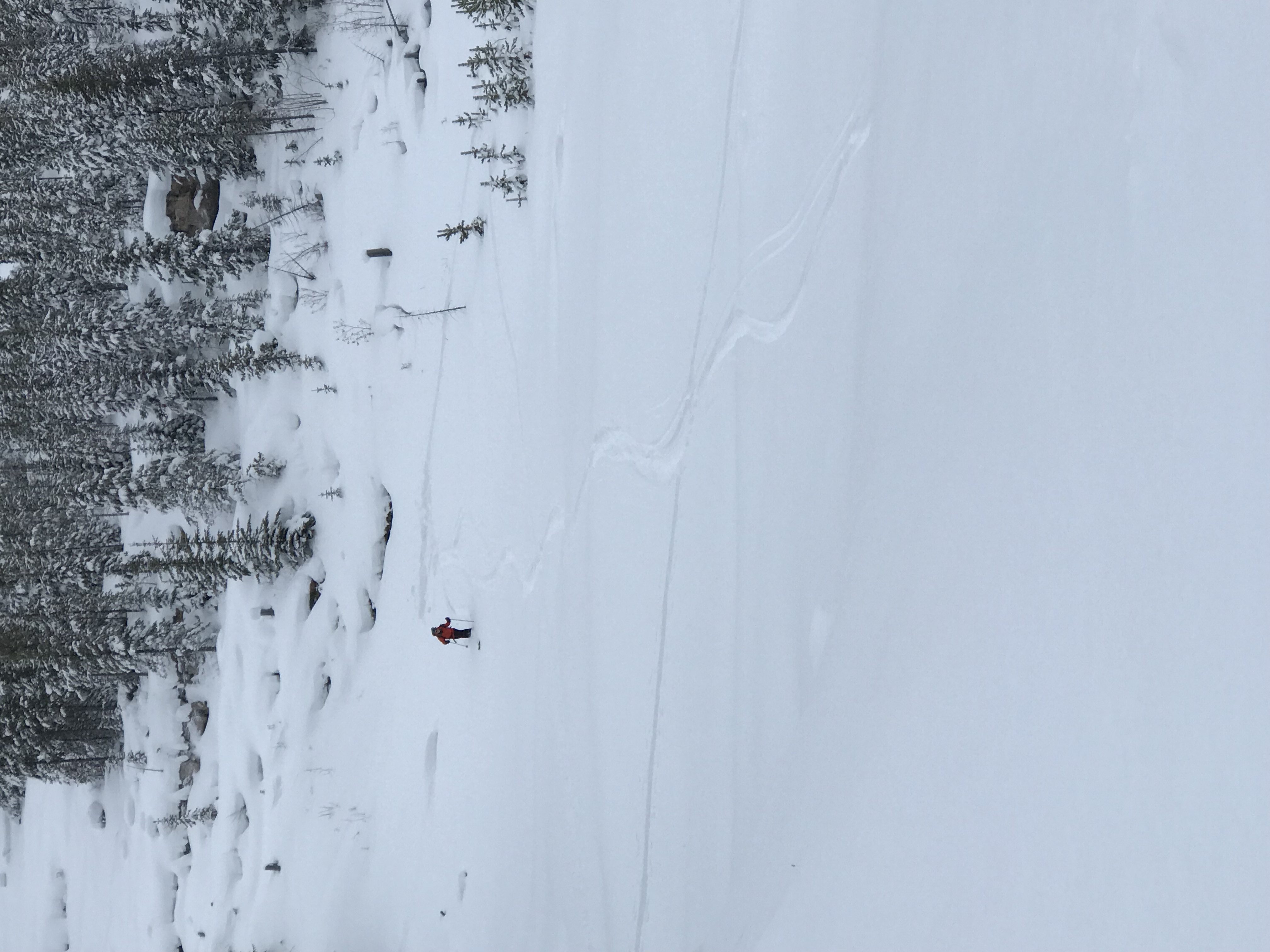
The trail breakers after finding somebody elses uptrack - the best kind!
A nice day out in any case. Thanks to Norman & Bill for exploring a bit. Gerald (c/s)
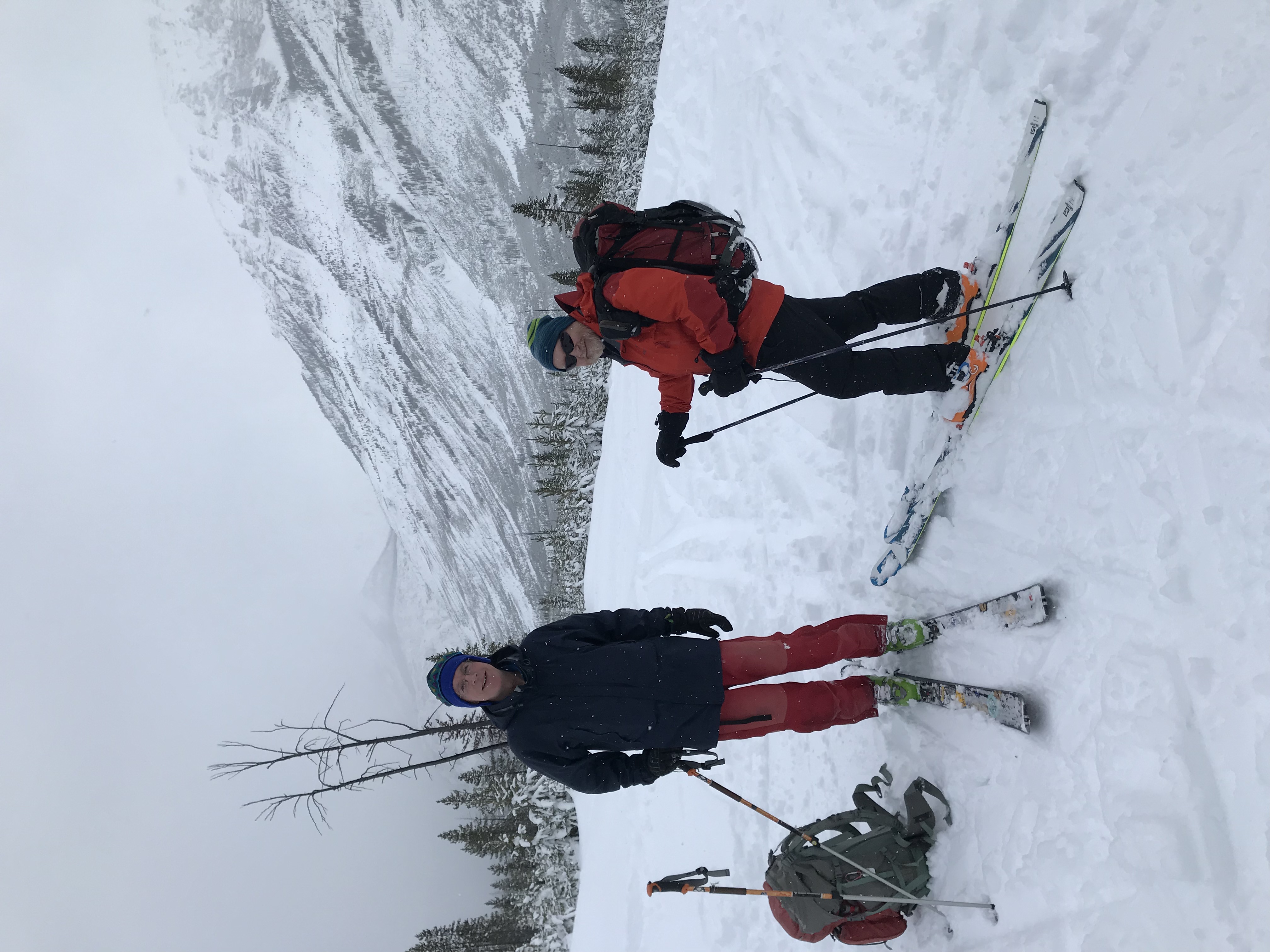
Participants: Norman, Bill, Gerald.