This trip was scheduled to be Mt. Buller, but when we arrived near Kent Ridge at 8.30am, we did not like the weather. It was cloudy and raining slightly, but also there was new snow on the higher peaks. Since Mt.Buller has some slabs which really should be dry, we decided to try something else. Unfortunately I only had the Gemtrek map covering Kananaskis north of Mt Shark day use area, but Brian had much more to the south on his phone. We eventually settled on Mt.Roberta which none of us had done.
Just before leaving the car park on highway 40, 6 young women showed up with Mt. Roberta in mind. We set off anyway along the old road.
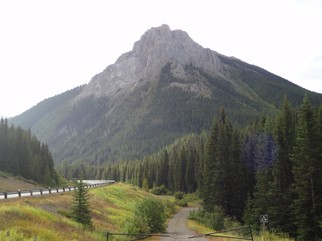
Mt. Roberta from Highway 40 carpark
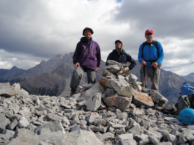
David, Brian and Gary on Summit of Mt. Roberta, Kananaskis
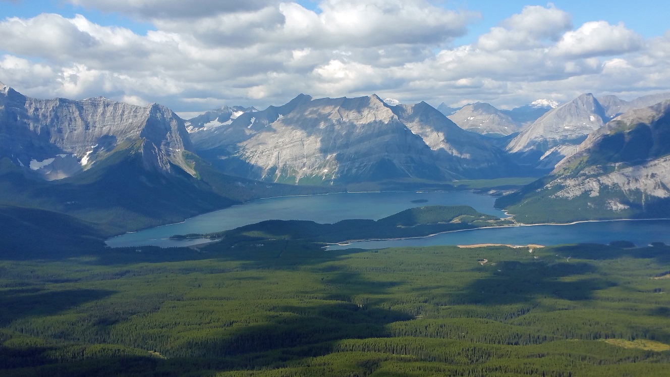
Kananaskis Lakes from summit of Mt. Roberta
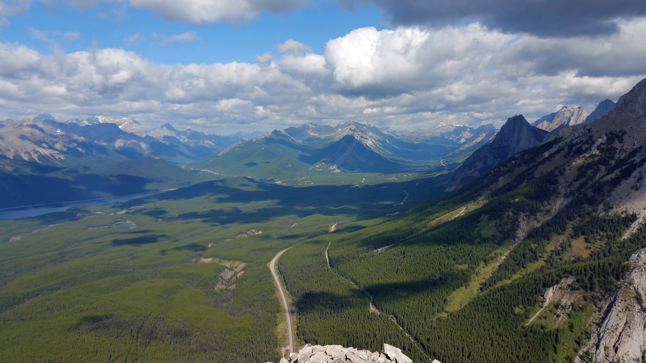
North along highway 40 from the summit of Mt. Roberta
We started back down around 11.45am and soon met the women at the col. They had a few route finding issues. Aided by Brian's GPS, our descent closely followed the ascent to put us at the car soon after 1.00pm (4 hours round trip). Thanks to Brian's navigation skills and Gary's driving we enjoyed a good but short day. I learned the lesson to bring extra maps for a possible plan B. RMRA database stats: 6km, +610m, 3 hrs, (4hrs for us). Spirko gives 6.1km, +598m, 4:40hrs. RMRA rates it OT4, but some may consider it nearer OT5.
Participants: ScribeDavid, navigatorBrian, driverGary