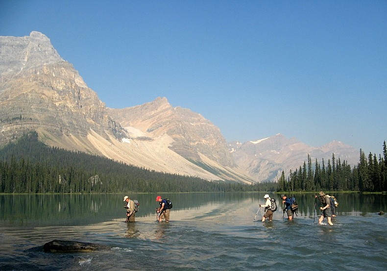
Deja vu .It would have been a bluebird day except for the smoky haze .We had no trouble finding the parking place and the start of the trail that goes down to the lake outlet and the river crossing
River crossing
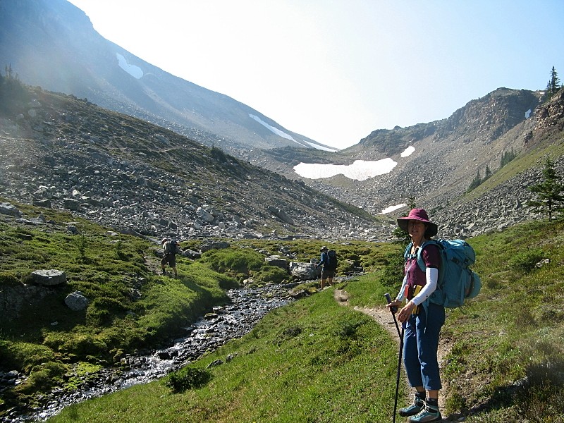
.A pleasant walk in the forest took us the open meadows c/w two alpine tarns where we had a snack break looking at the bouldery slope that leads to the ridge
Near the pass
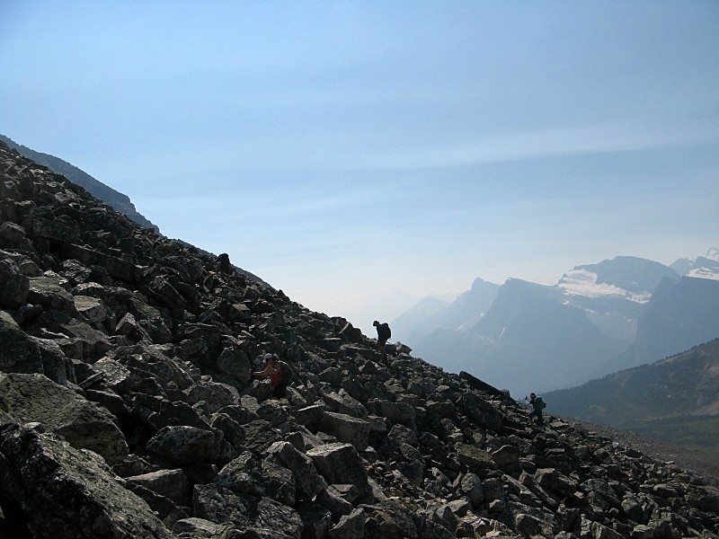
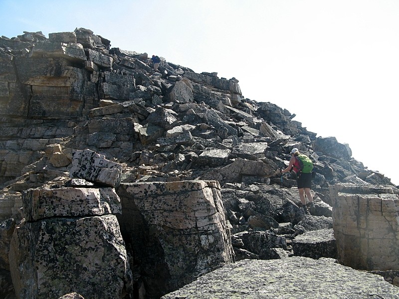
Boulder slope leading to the ridge
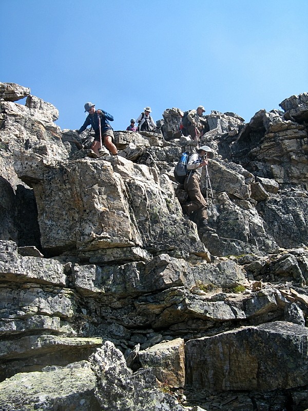
In about one hour of hard work we reached the north end of the ridge
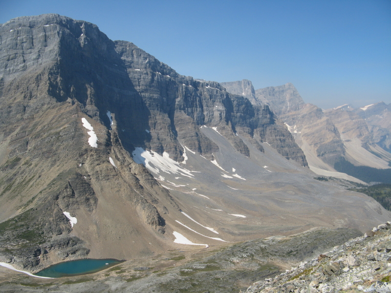
looking down to Crowfoot pass
It was then a question of following it to the high point at the south end
More boulders on the ridge
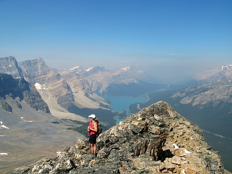
Bow Lake and lots of smoke to the north
We all made to the top where we enjoyed an hour long rest with a cool breeze
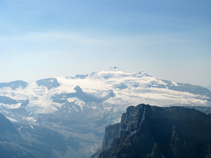
The classic view of Mt. Balfour
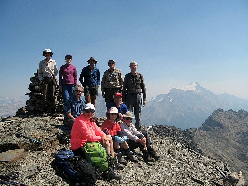
The group neatly arranged on Bow Pk. summit
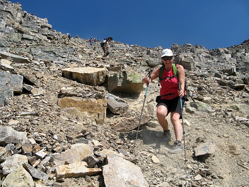
We retraced our steps past the false summit and took the scree gully down to the meadows
Scrambling down the false summit
At full speed down the scree gully
Back at the cars at 5:15.Thanks to all Participants: Yolande ,Peter,Douglas,Jeannette,Teresa,Harold,Gary,Carolyn,Michael,Toshiko for a great day Francisco C/S
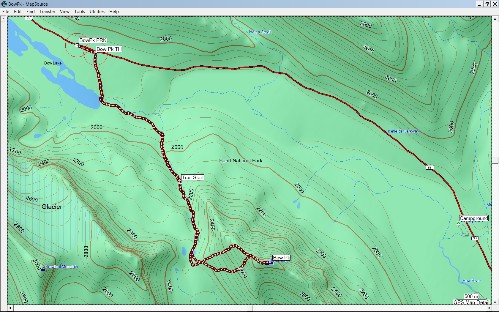
Bow Peak - GPS Track Distance 13.5km
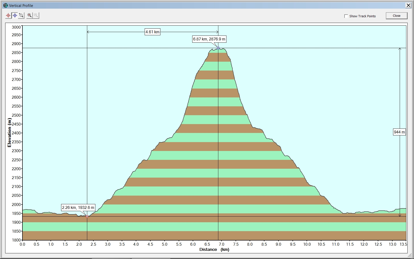
Bow Peak - GPS Elevation Profile 944m low to high point