The trip to the top of The Onion in my opinion, ranks as one of the most scenic off trail hikes in Banff National Park. It is worthy of a repeat every 2 or 3 years. In this coordinator's case, it had been 49 years since I last stood on the summit of The Onion. Back in those days it didn't have a name.
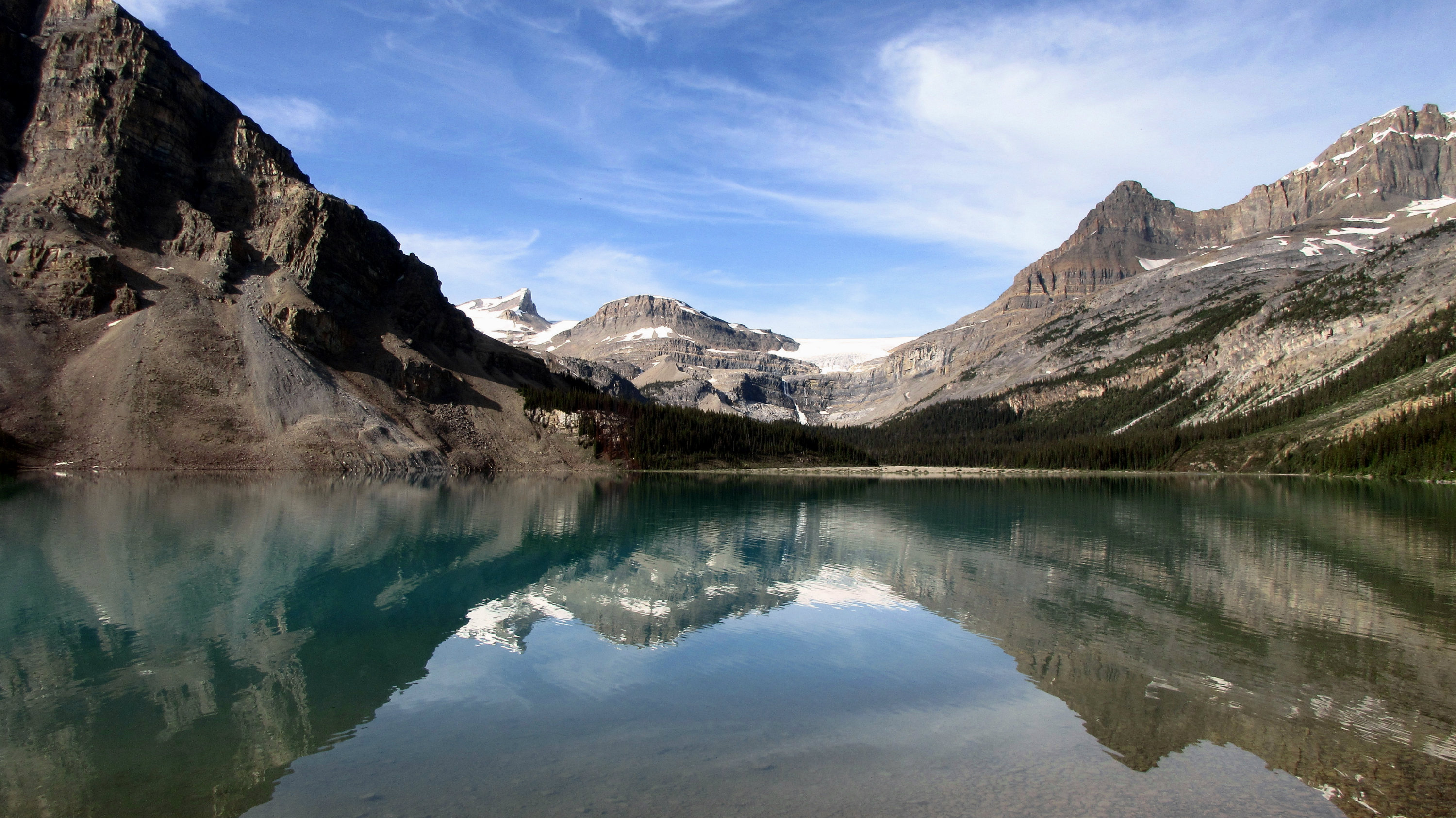
Our group of seven Ramblers left the Bow Lake parking lot at 9:45 am. We were greeted almost immediately with spectacular mountain relections on the surface of Bow Lake.
Bow Lake reflection with The Onion in the centre
Travelling at a steady pace, we hiked around the lake, up the stairs and over the large chock stone over the gorge. We made good time through the forrested trail and soon found ourselves on the moraine flats of the upper valley.
Katrin and Elizabeth crossing the stream at the upper end of the valley
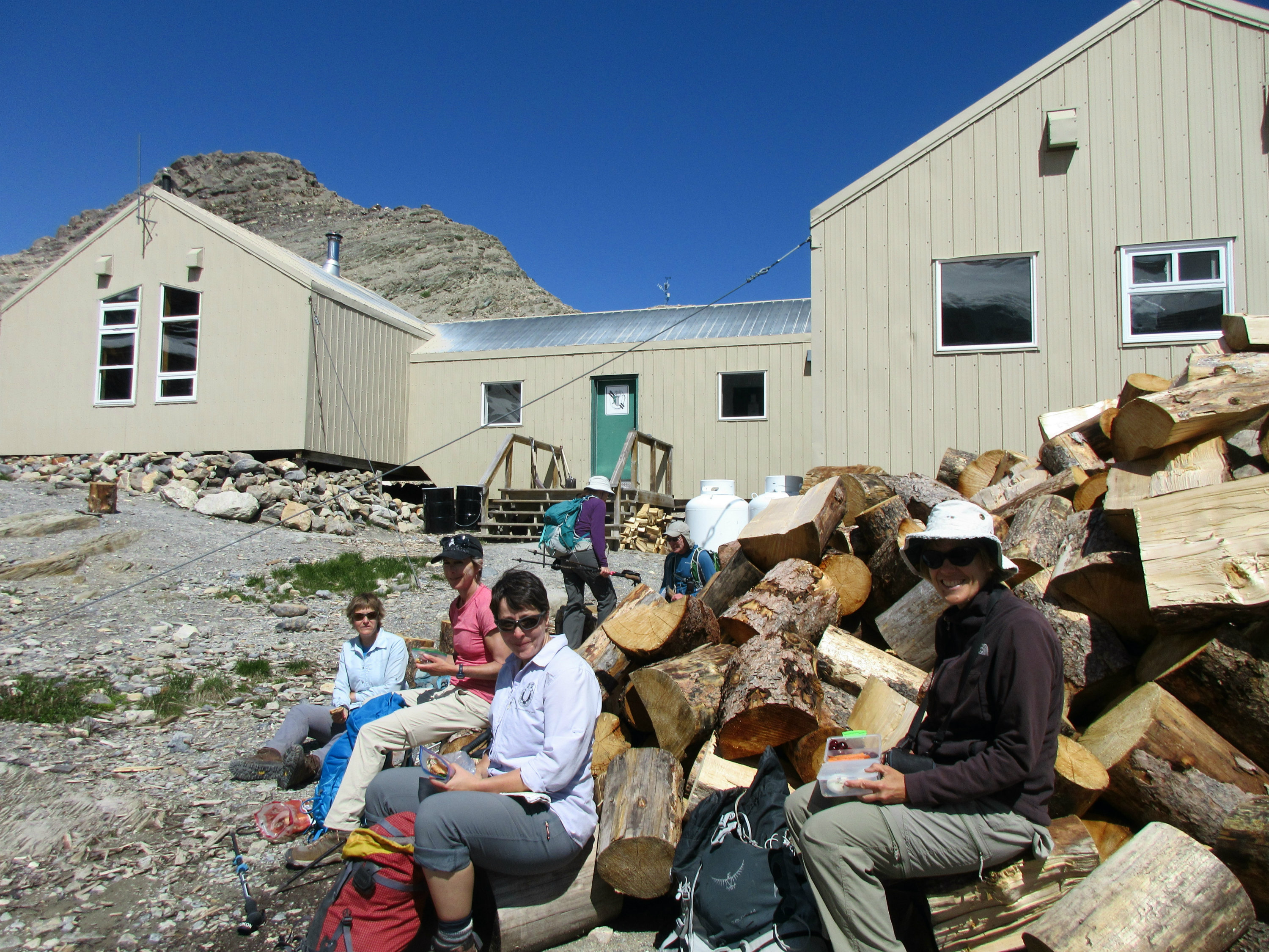
After navigating a couple of easy stream crossings, a short uphill section brought us to the Bow Hut.
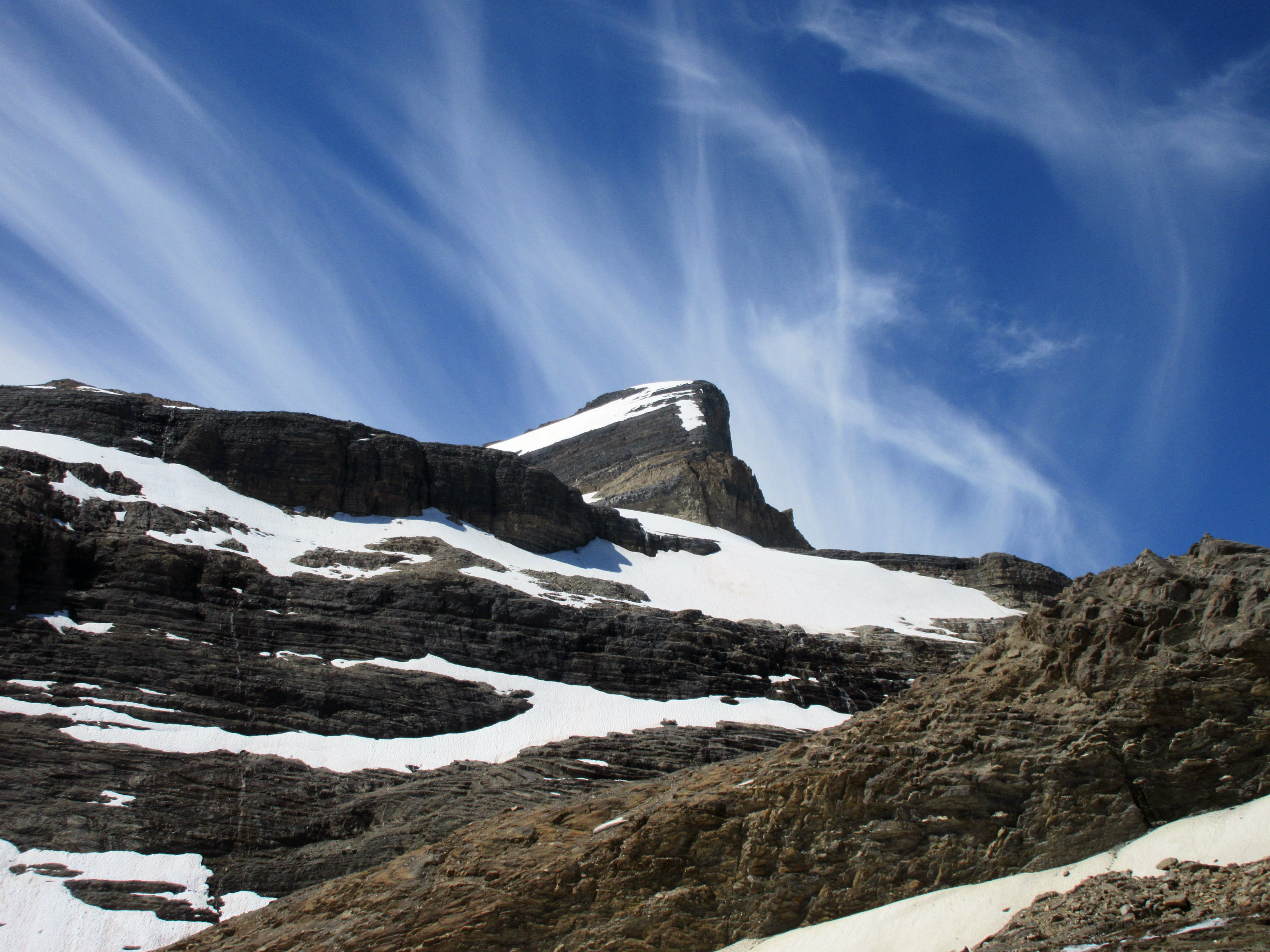
Wispy clouds over St Nicholas Peak
Lunch at Bow Hut
At the hut we stopped for a 30 minute lunch break and were joined by Bob Spirko and his significant other, Dinah. Bob and Dinah joined us as we made our over the glacier scoured terrain and up to the top of The Onion.
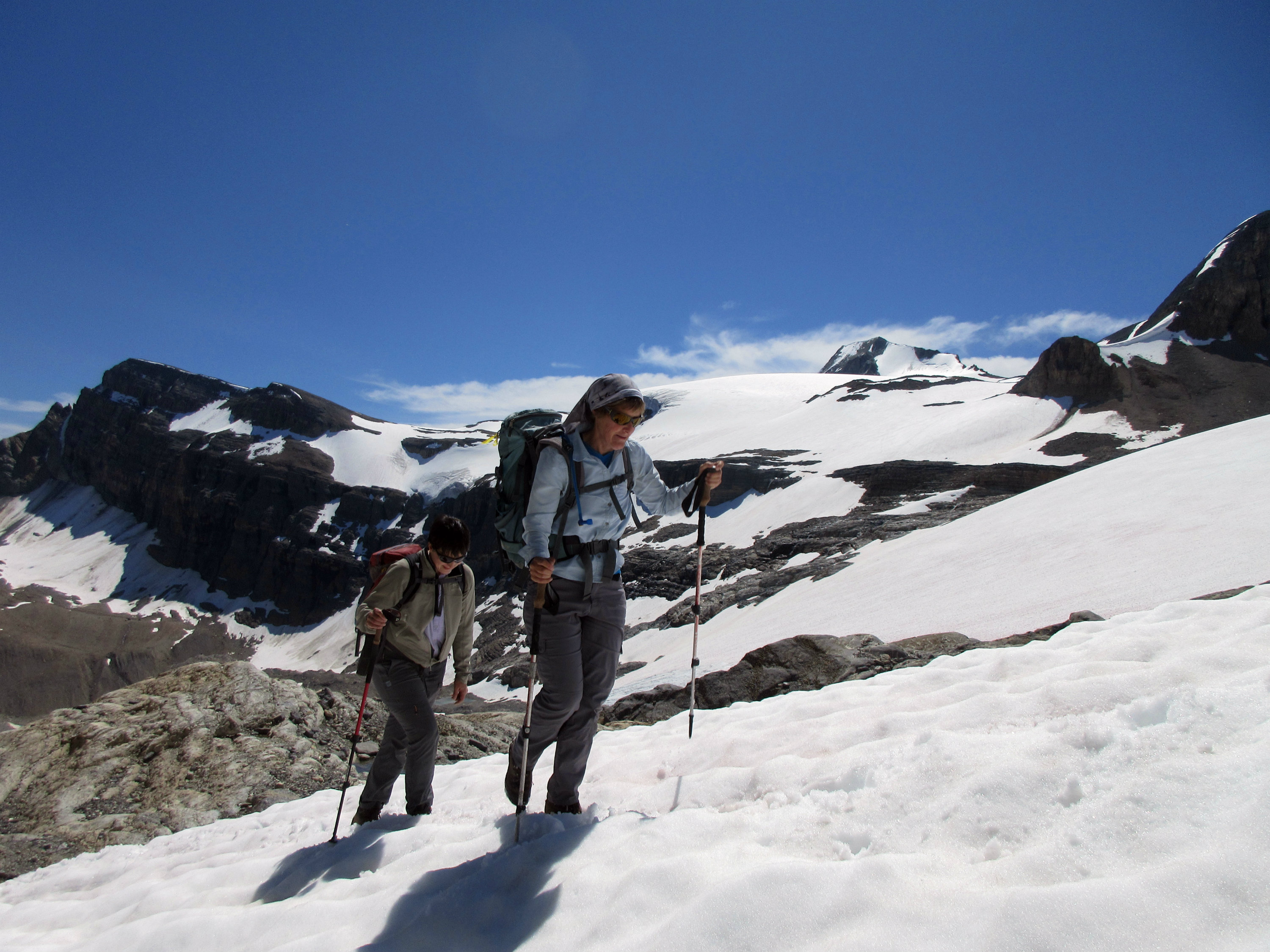
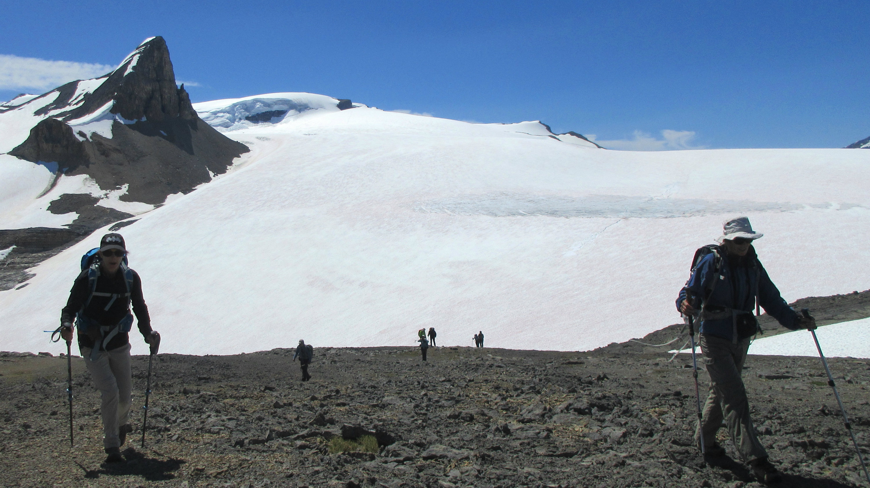
Barb and Elizabeth heading up the snow beside the glacier
Approaching the summit of the Onion
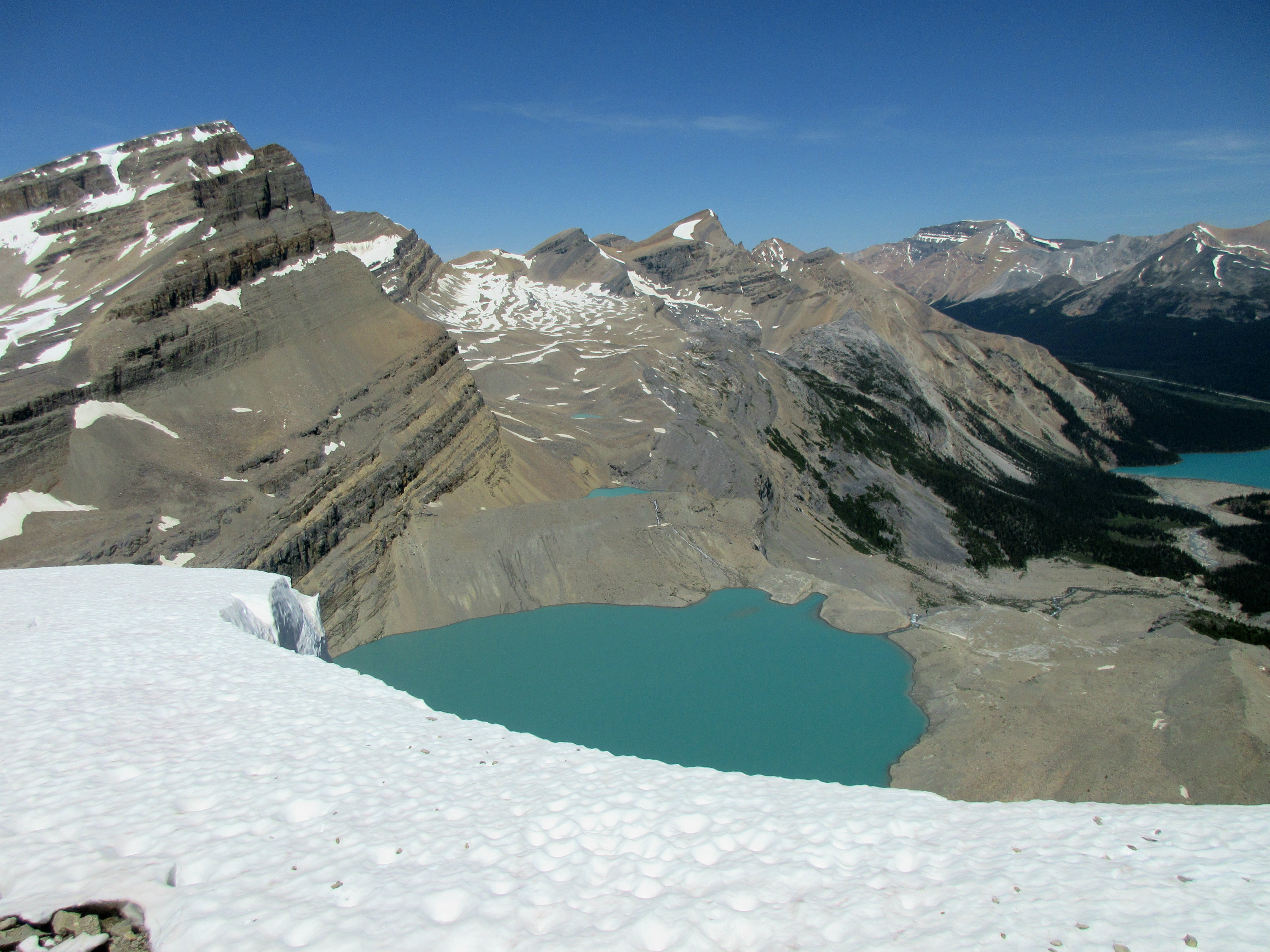
The views of the rock formations, glacial tarns, the Bow Glacier and adjacent peaks make for spectacular scenery, resulting in many stops for photos. The 360 degree views from the top of The Onion are some of the best in the parks. One is able to look down on Iceberg Lake directly below and Bow Lake in the distance to the East.
Iceberg Lake and Bow Lake from the top of The Onion
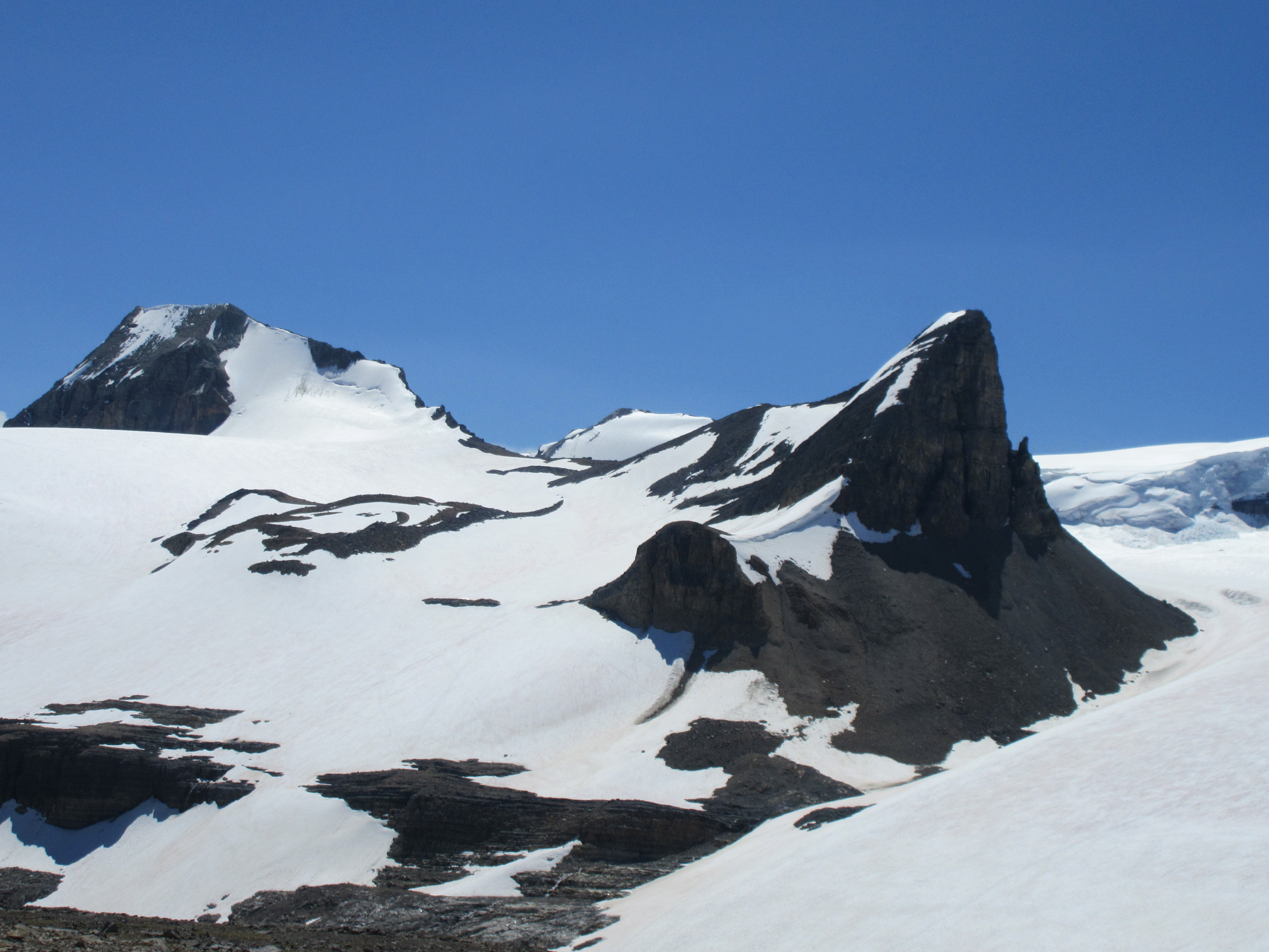
Looking NW towards Mt Baker and Mt Rhonda
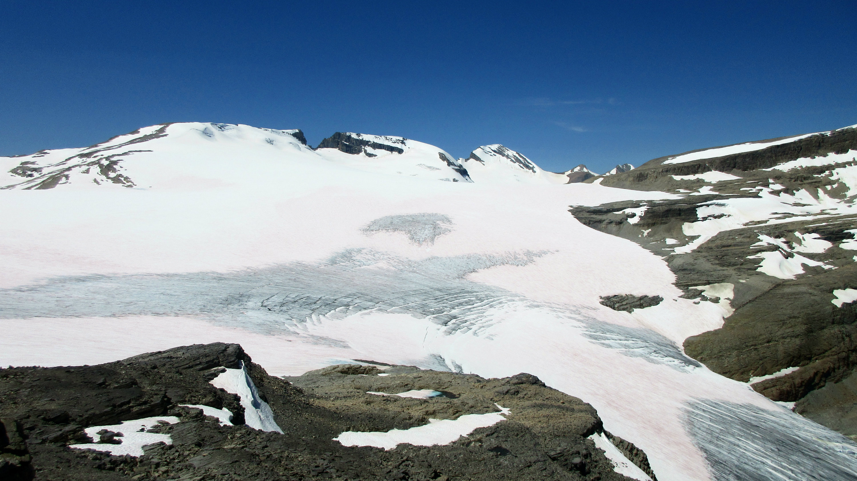
To the West is the expanse of the Wapta Icefield, with numerous peaks, including Mount Rhonda, Mount Baker, St Nicholas Peak and Mount Olive.
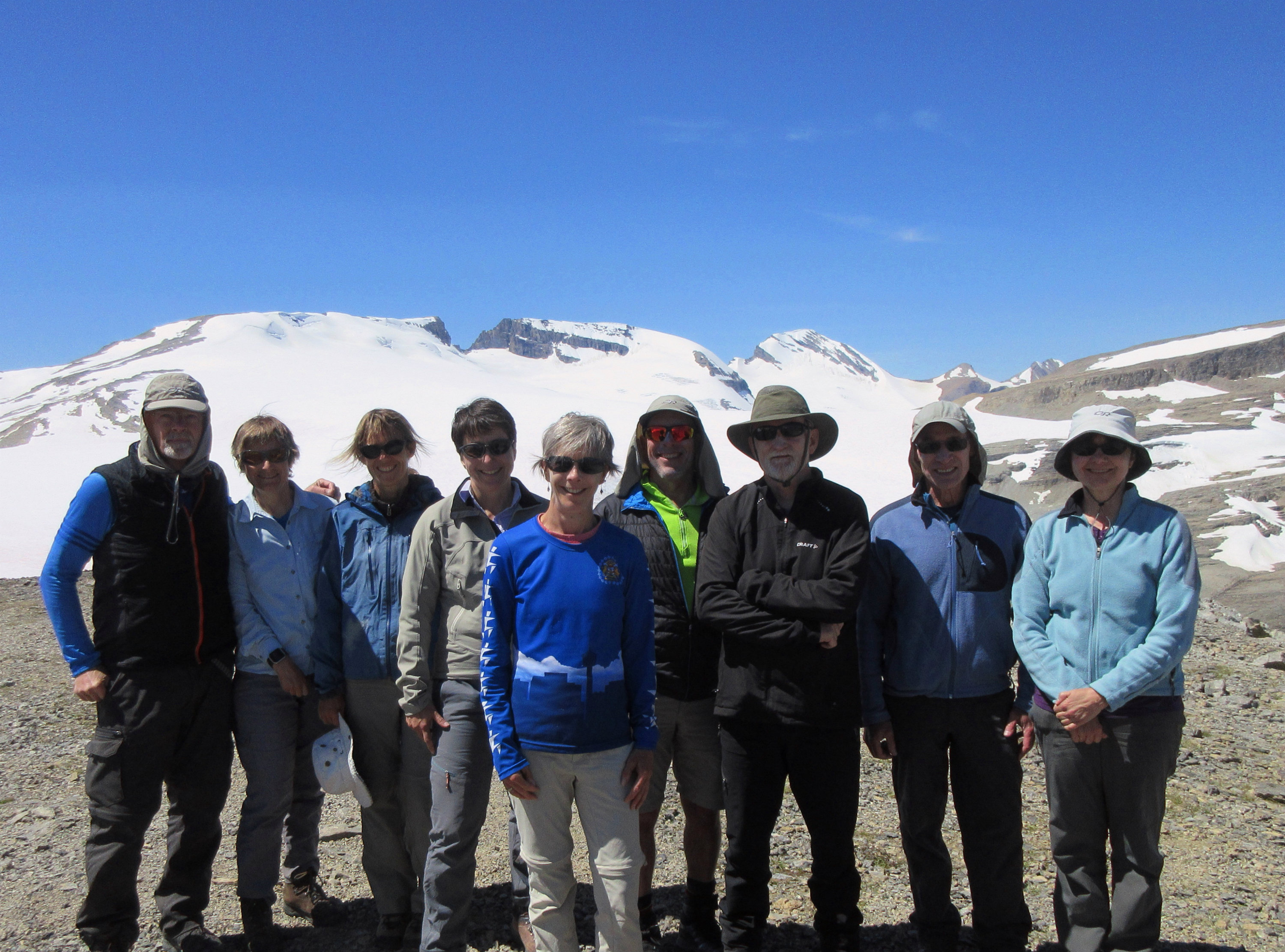
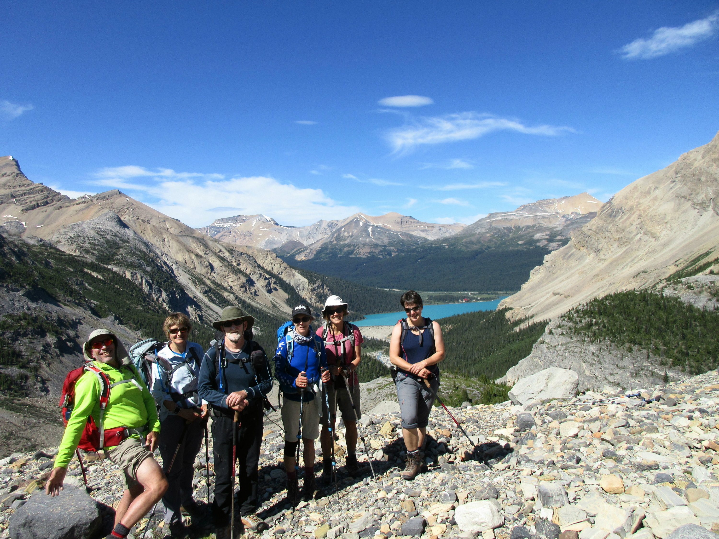
Rambler group summit photo with Bob Spirko and Dinah
St Nicholas Peak and Mt Olive from the summit
After spending 45 minutes on the summit, the group reluctantly headed back down to the hut and to the moraine in the valley floor. Bob and Dinah had to get back early, so we parted ways at this point.
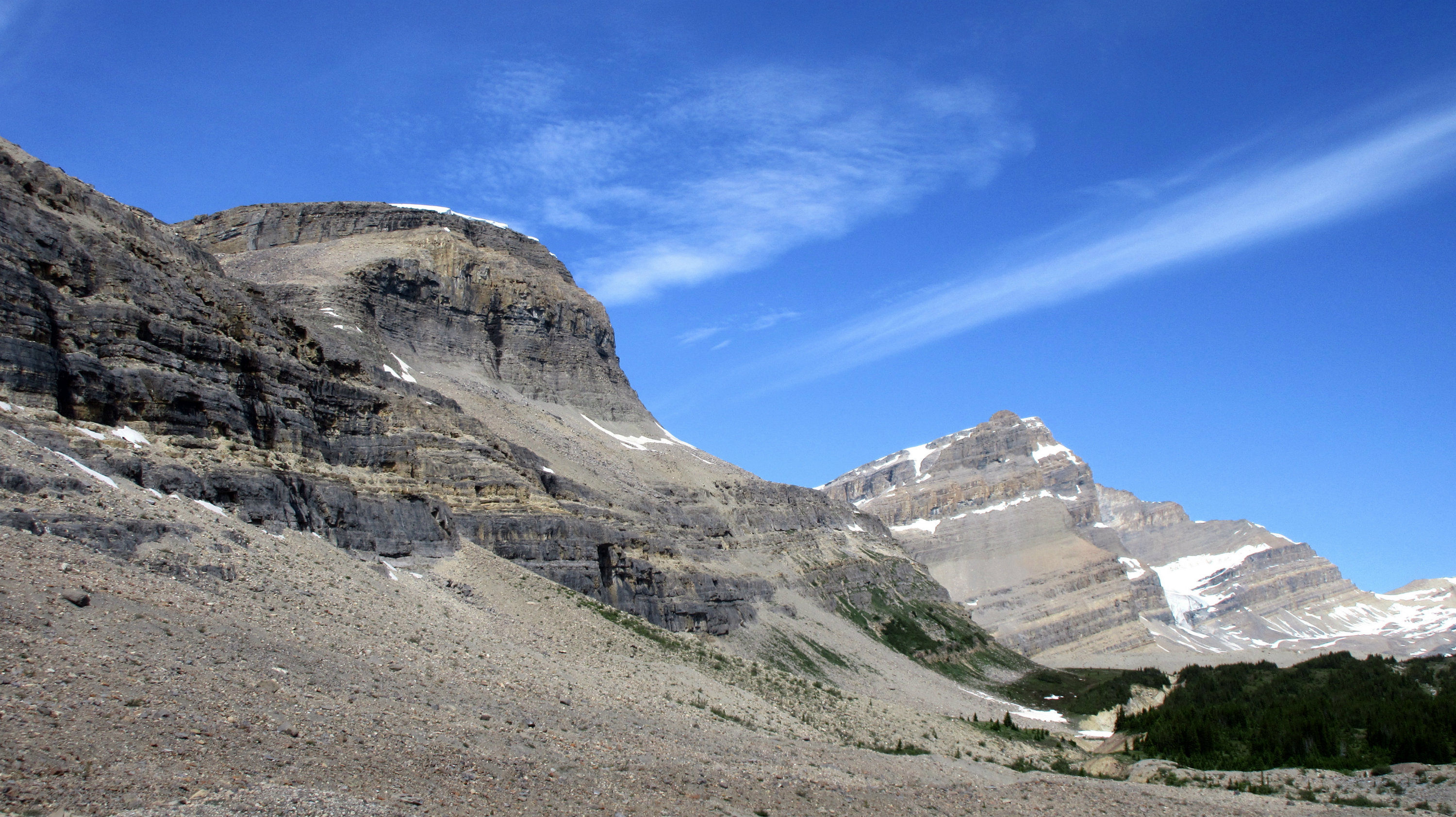
Given the surperb weather and scenery, the group decided to do an extra side trip to Iceberg Lake above Bow Falls. From the head of the valley the route is very straight forward over easy terrain (there is one stream crossing below a waterfall). We angled left around the base of The Onion, following occasional small cairns, until we reached a gentle treed ramp.
The Onion and the treed ramp leading up to Iceberg Lake
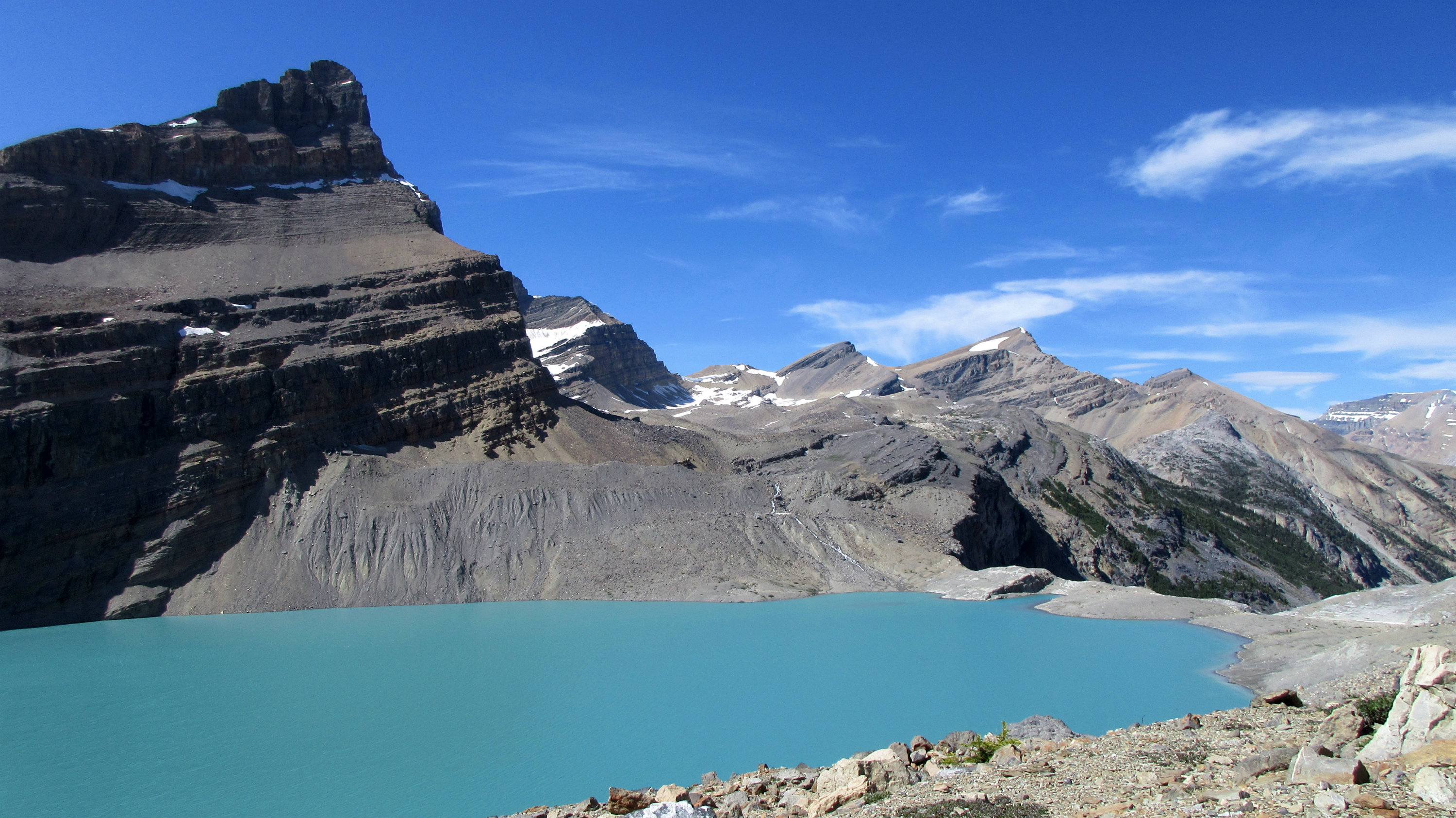
At the top of the ramp is a large alpine meadow, which leads to another gently inclined grass slope and then to a lateral moraine. A notch in the moraine leads to the slopes of Iceberg Lake, a short distance below.
Iceberg Lake
Again the amazing views necessitated another rest and photo break.
The group leaving Iceberg Lake (And Chip showing some thigh)
The descent from Iceberg Lake involves a descent down a moderately steep lateral moraine and then through the trees on a well established trail. The trail descends steeply on grassy treed ledges, to the mid point of a large rock butress. The trail makes a lateral traverse on a wide ledge to a second less steep lateral moraine and then down to the creek. A creek crossing is required to regain the normal trail on the other side. The side trip to Iceberg Lake adds about 150 metres of vertical and 60 to 90 minutes to the return trip, but everyone in the group felt it was well worth it.
My thanks to everyone Barbara, Katrin, Elisabeth, Dana, Chip and Greg, for their great company and for joining me Kevin (S/C ) and sharing an absolutely amazing day in the mountains.
Total elevation gain, including Iceberg Lake, - 900 m, Total distance, including Iceberg Lake, - 18 km