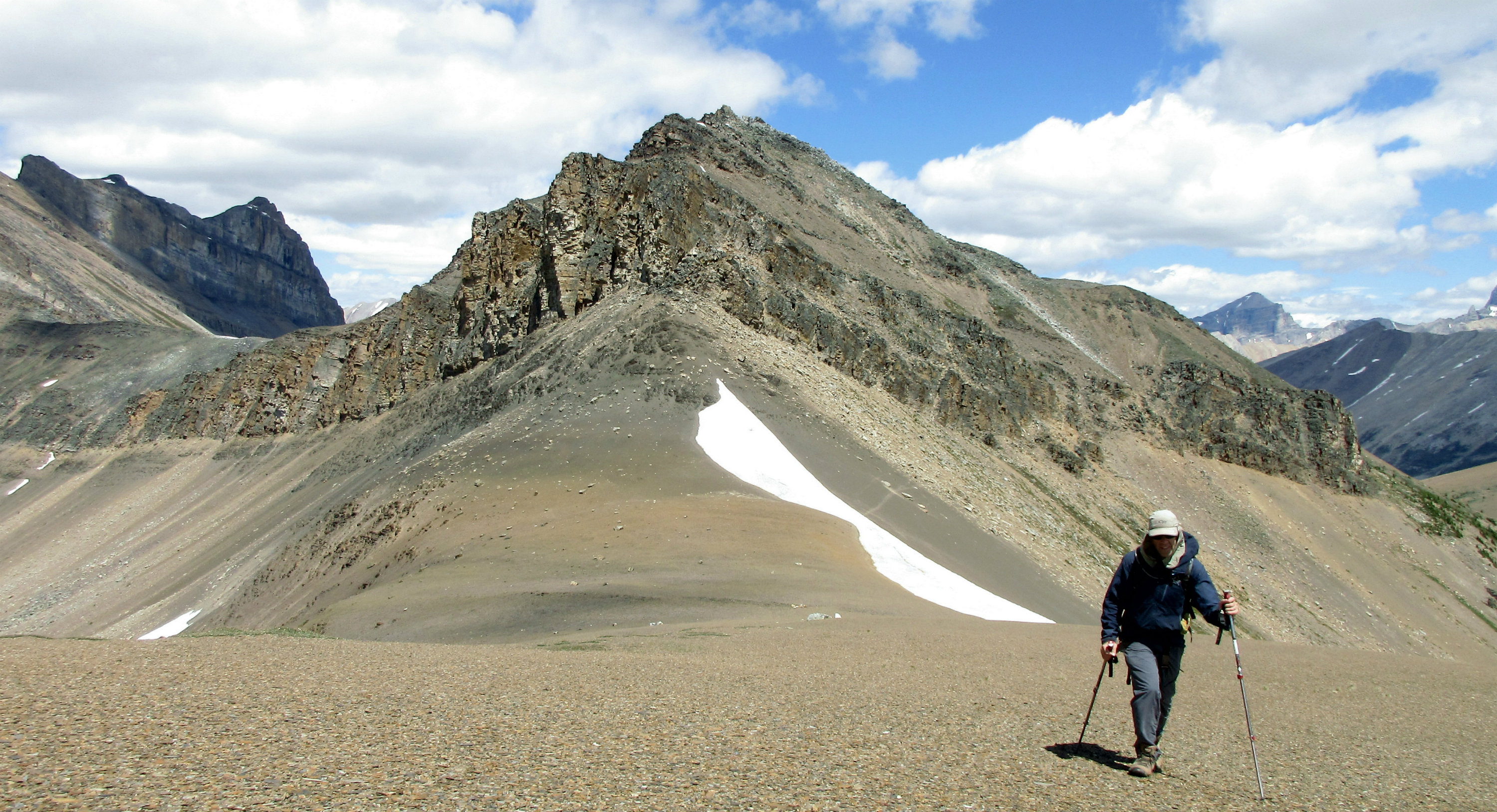
The Unity Peak-Lipalian traverse provided hours of great views. It took about three hours from the Fish Creek parking lot up through Wolverine Valley to reach the Redoubt-Unity col, where the group took a short break.
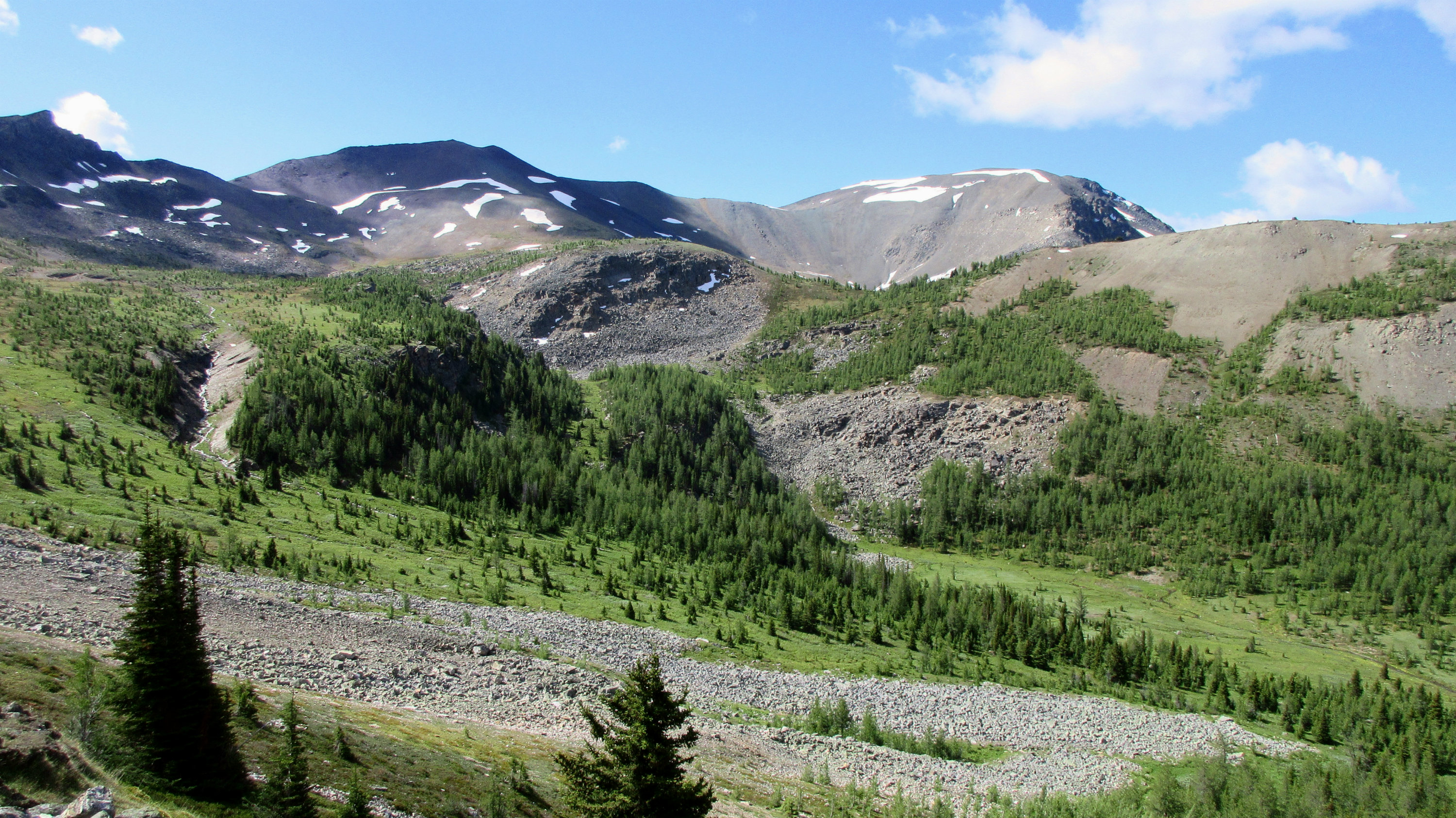
Upper Wolverine Valley with Purple Peak and Lipalian in the background
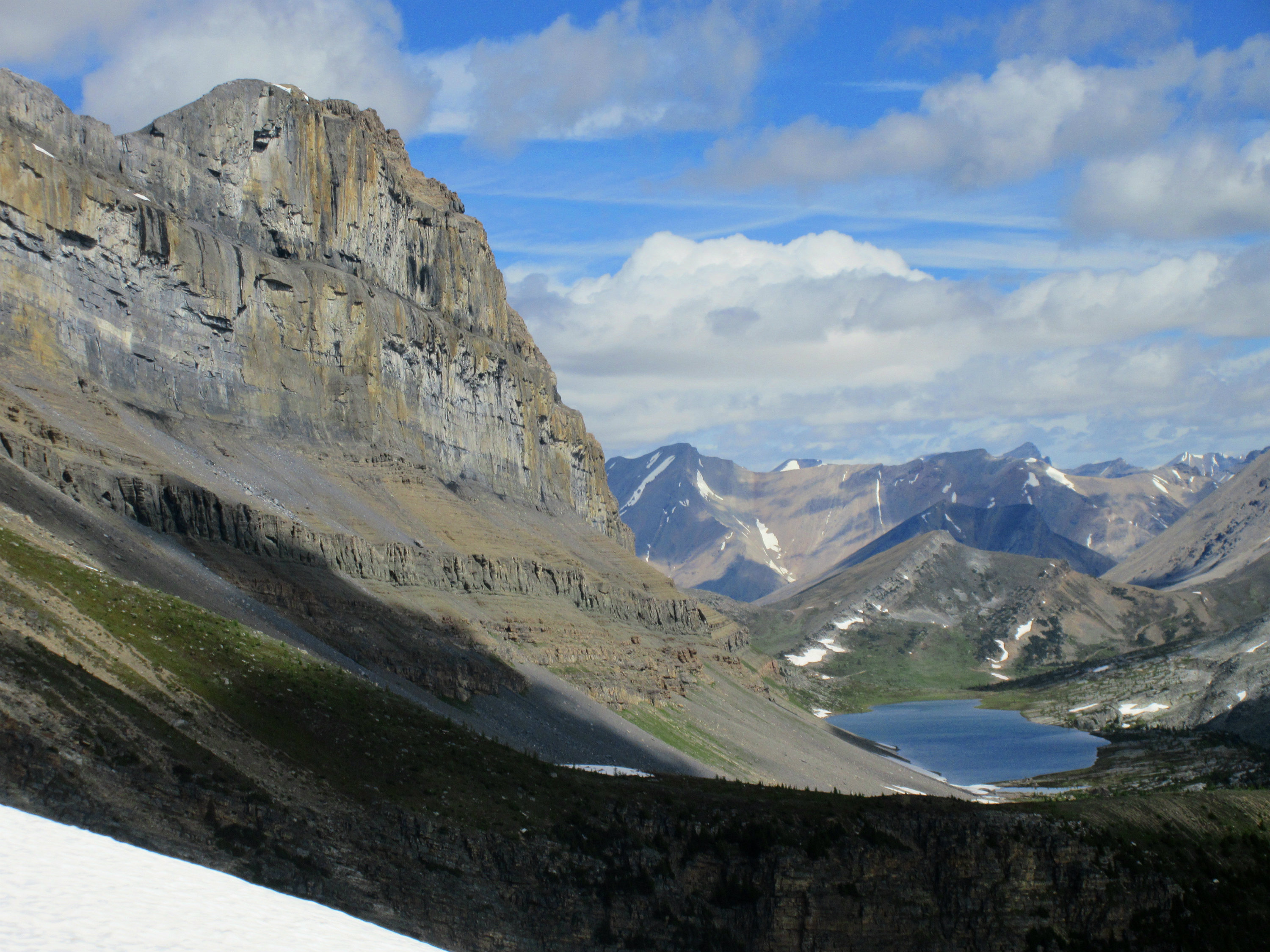
Redoubt Lake from the Redoubt-Unity col
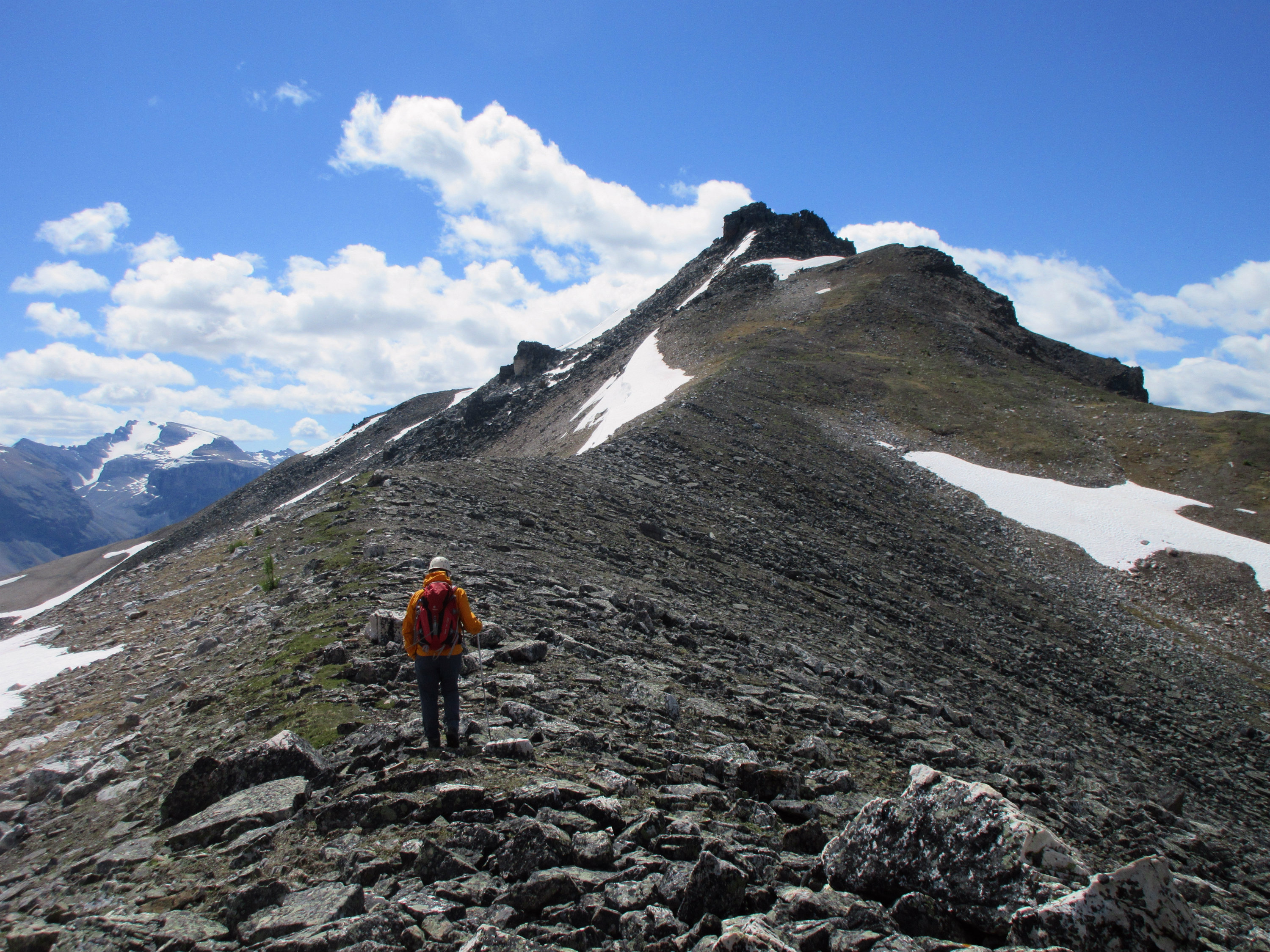
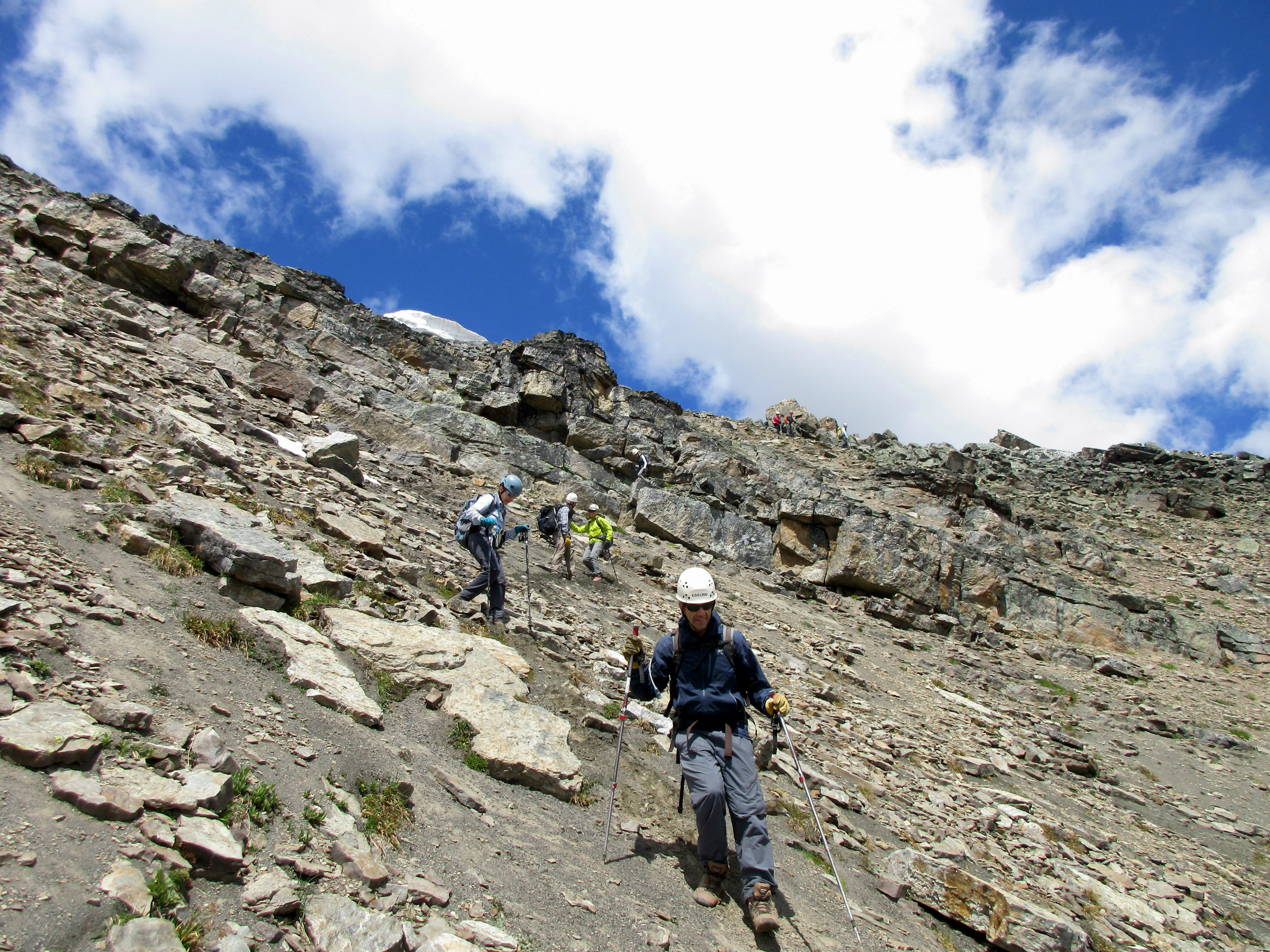
An easy walk up the North ridge of Unity Peak led to the small quarzite summit block.
John heading up the North ridge of Unity Peak
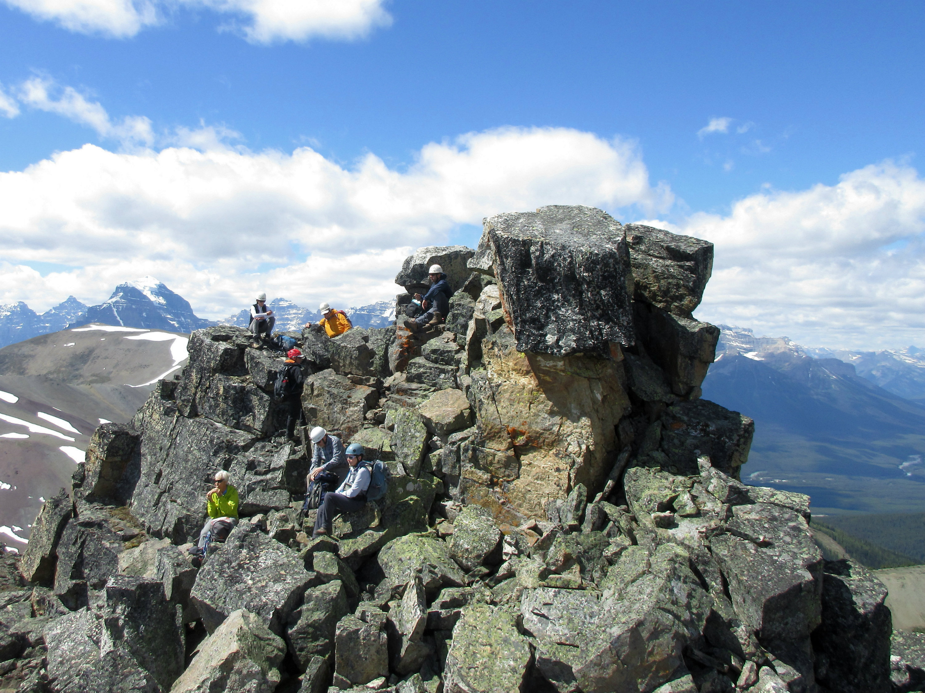
Some easy scrambling up large quarzite blocks led to the summit of Unity Peak.
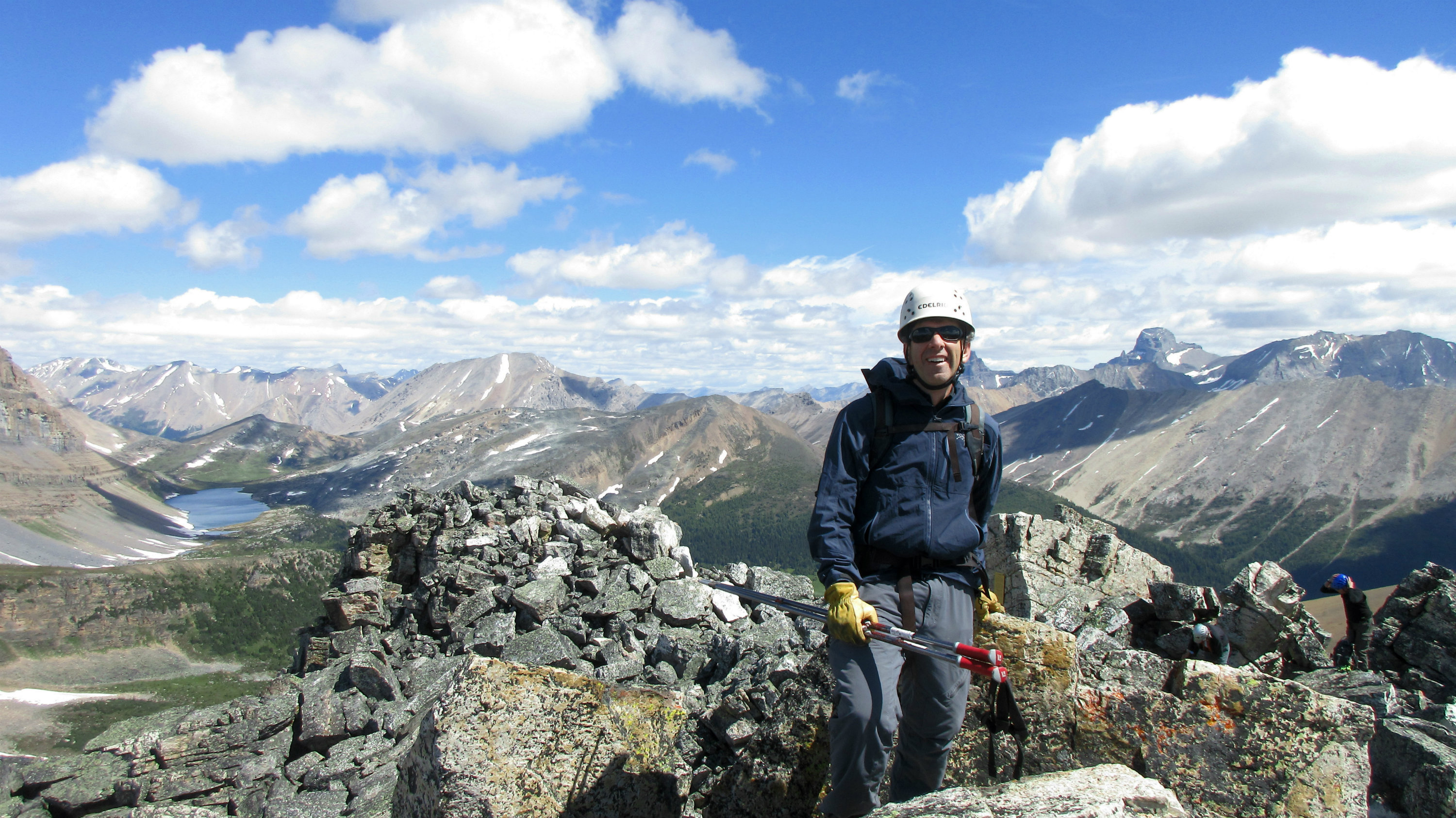
Brian on the summit of Unity Peak
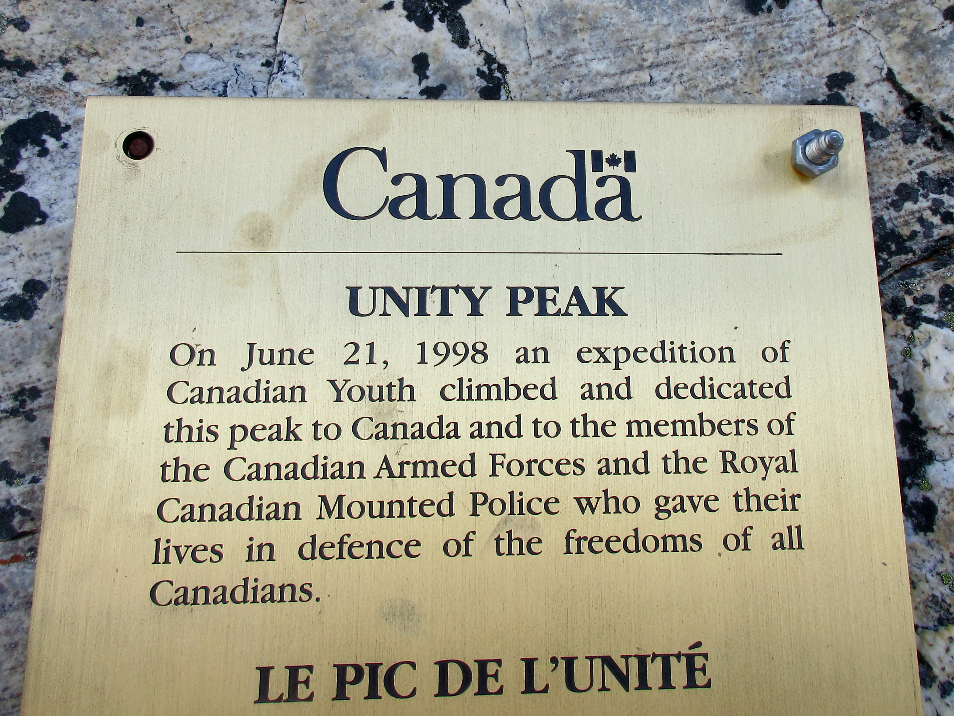
Plaque on Unity Peak
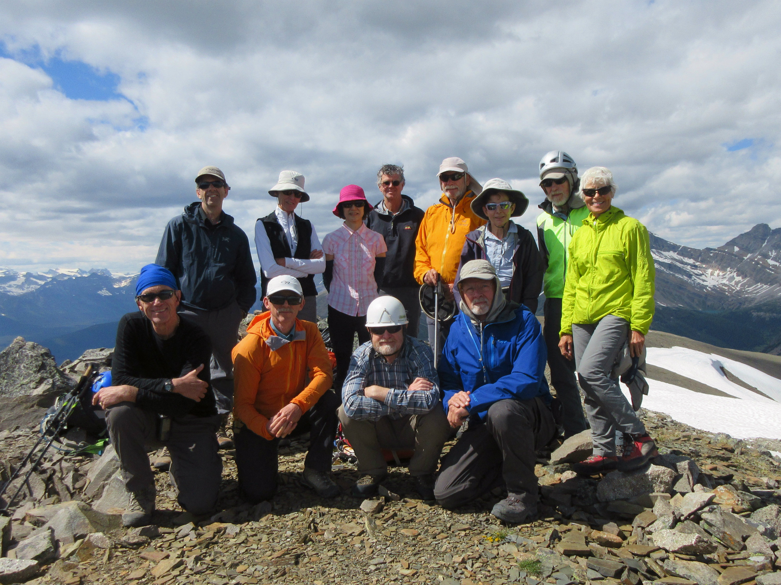
There is only room for one person at a time on the highest point of Unity. The group enjoyed a long pleasant lunch just below the summit of Unity.
Group taking a break on the summit of Unity Peak
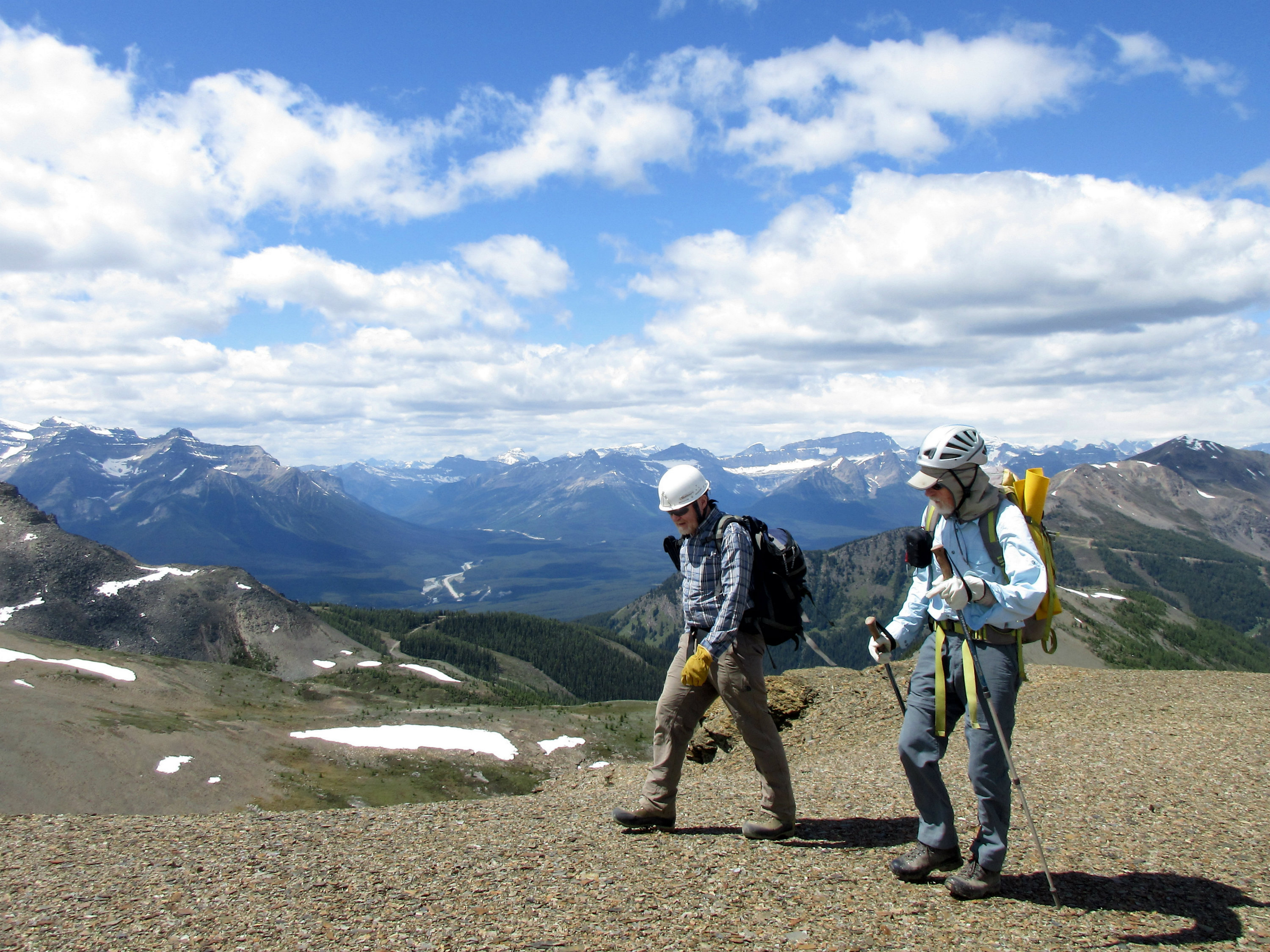
We then proceeded down easy ledges on the East side of Unity Peak, then traversing South around the base of the summit block, before regaining the ridge.
Descending the East side of Unity Peak
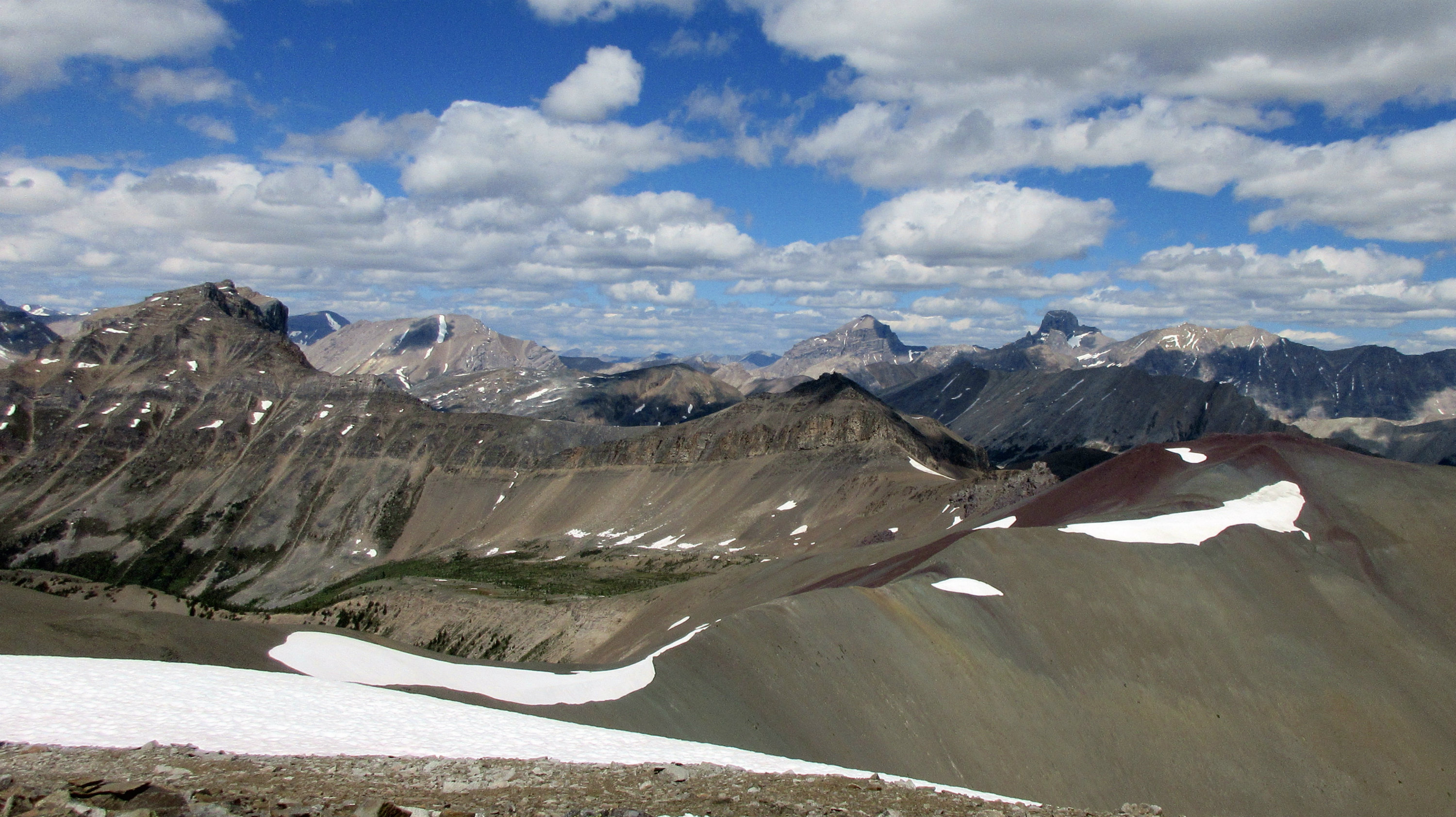
Typical views along the traverse
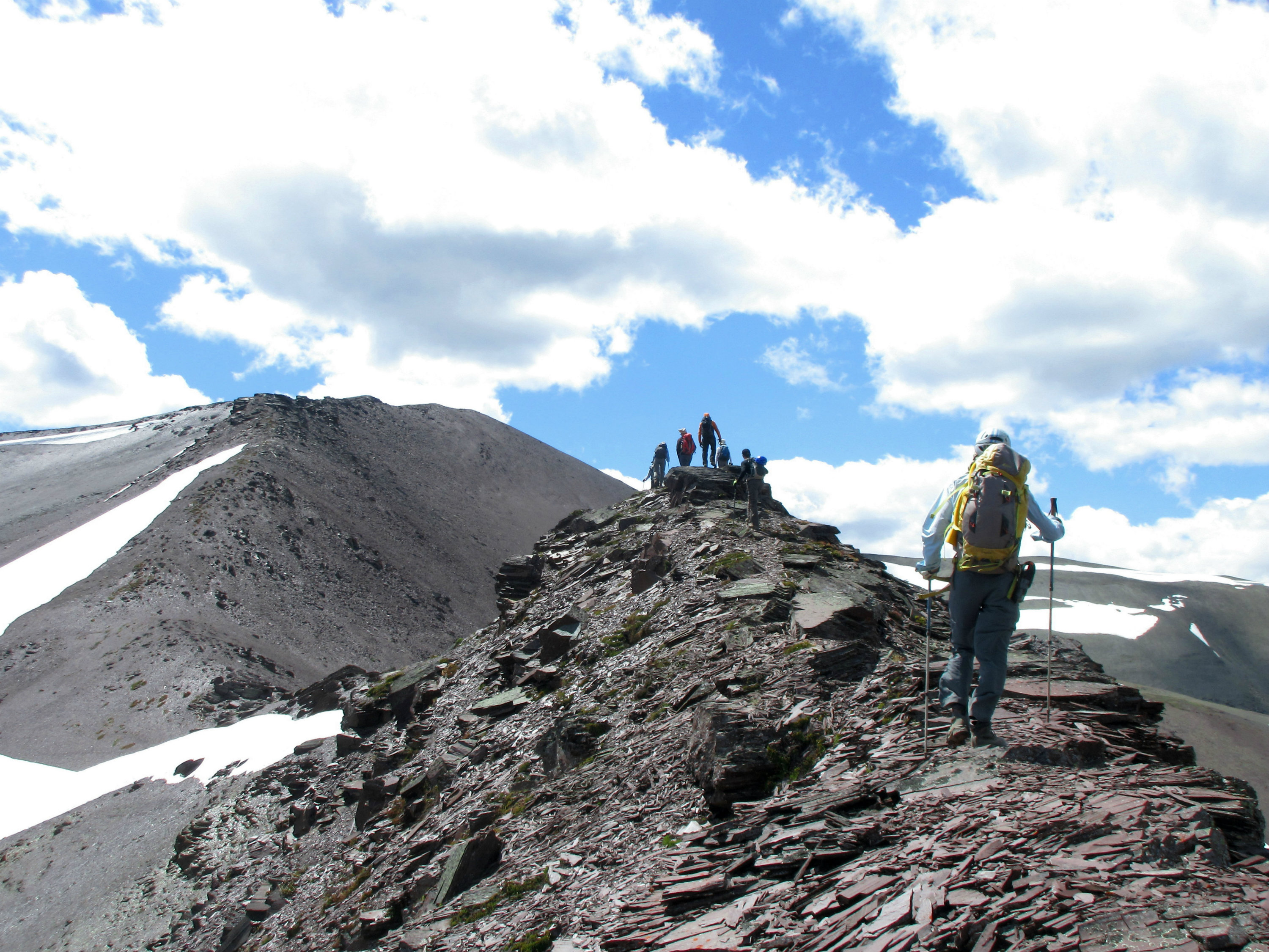
Easy walking on soft small talus on the ridge, led the group over to Purple Peak.
Easy walking along the ridge
Heading along the ridge towards Purple Peak
The superb views on Purple Peak necessitated another rest break and world problem solving session. Then it was on to Lipalian, dropping 60 metres on the ridge, before ascending final section to the high point on Lipalian.
Enjoying the views on Lipalian
Looking back at the traverse route from the top of Lipalian
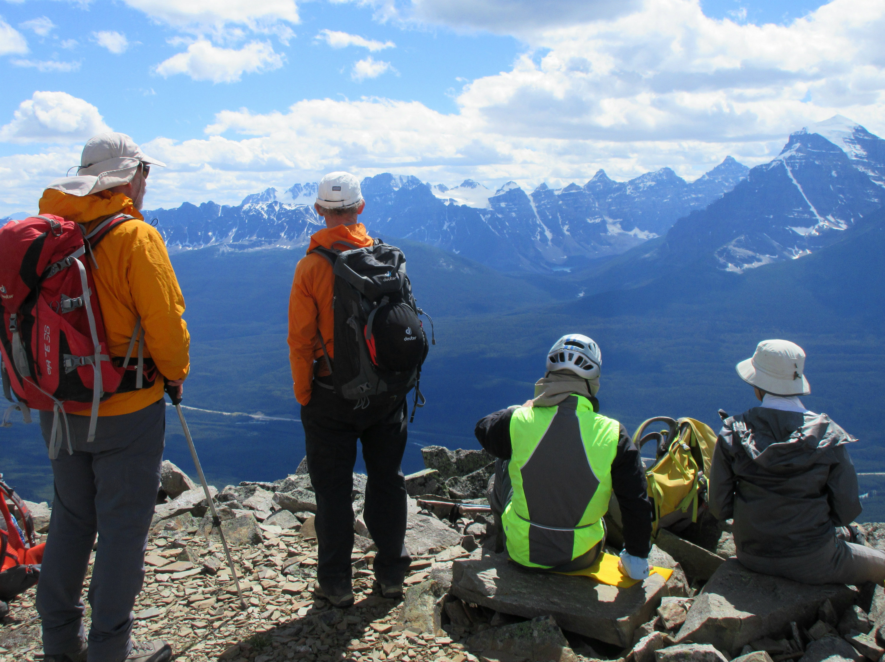
The warm temperatures and blues skies meant another long stop on Lipalian to enjoy the views of the Ten Peaks, Temple and Victoria to the West.
Group photo on the summit of Lipalian
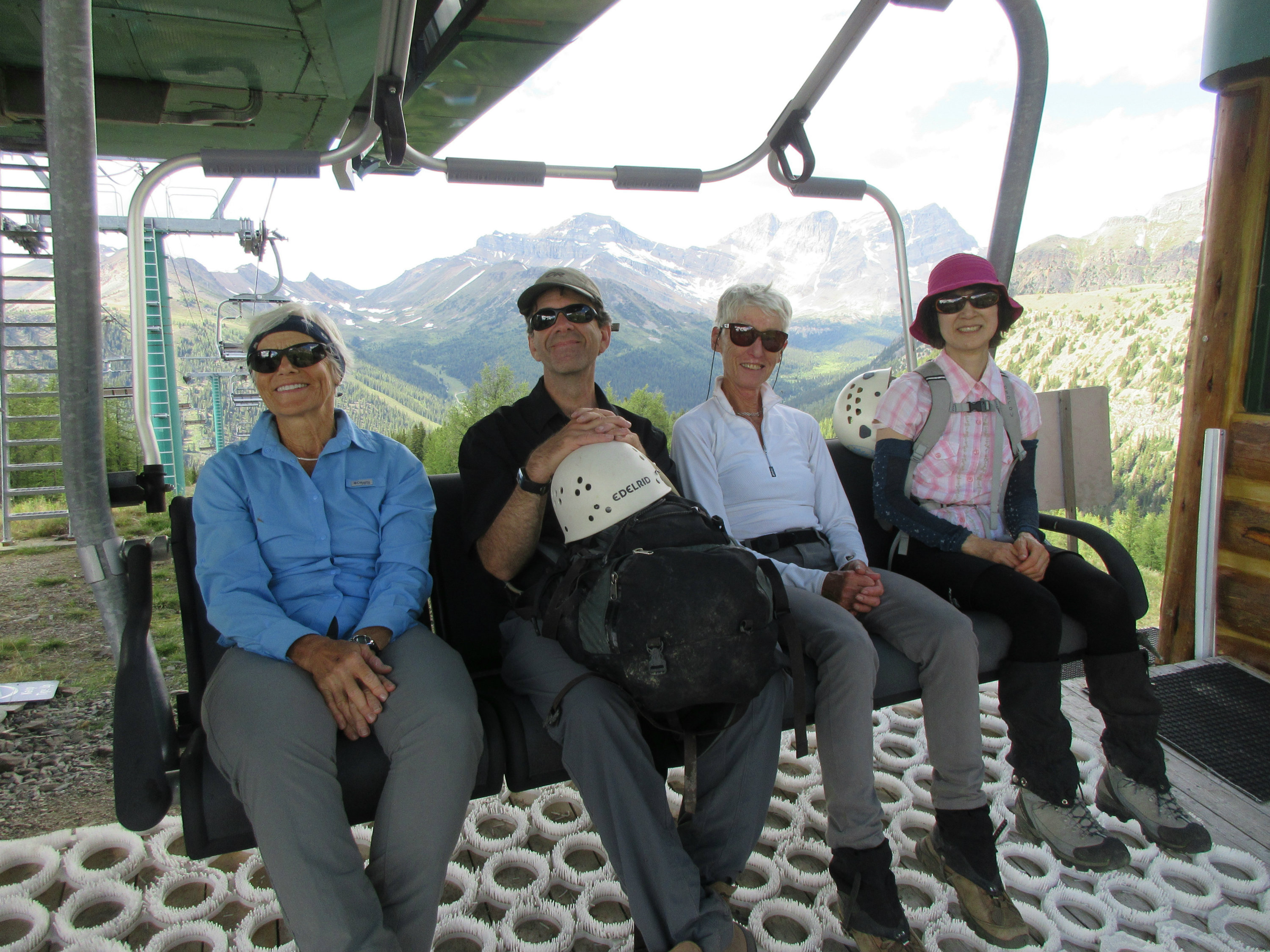
The group then descended the North slope of Lipalian to the ski lift station at the top of Larch. A well positioned lift chair provided a comfortable spot to rest in the shade.
Eager skiers waiting for the ski season to begin in 4 months
We followed the green Lookout ski run back down to the road and then trudged the last 3 km. down along the road to the trail head.
Thanks to Patty, Inge, Bill, Bruce, new member Toshiko, Alda, Arnold, Brian, John, Jack and Evan for their great company and for joining me Kevin (S/C) on a fabulous day high in the mountains.