This trip was originally posted at Mary Barclay's Mtn. Well, we got to the Kananaskis River and it was running a bit deeper and, to our eyes, with greater force than in past crossings. The skeletal remains of ocean-worthy vessels were seen strewn about the shoreline, evidence of valiant but fatal attempts to navigate the waters. Chip made an exploratory crossing attempt, with Terry a close second. When the water came up to Chip's... er...boxers, without clearly getting to the deepest part, he turned back.
We then decided on Plan B, Wasootch Peak, following Nugara's description. It was a very pleasant day, a bit breezy and chilly at the top but that didn't stop us from continuing the 15 min further to the north peak, a bit lower but with different, yet equally wonderful views.
Back to the car by 2:30 or so and at the Shouldice meeting place by 3:30. For a GPS track (not that it's needed), you can contact Chip (chipscialfa@gmail.com)
Wasootch Peak - North Summit Shot
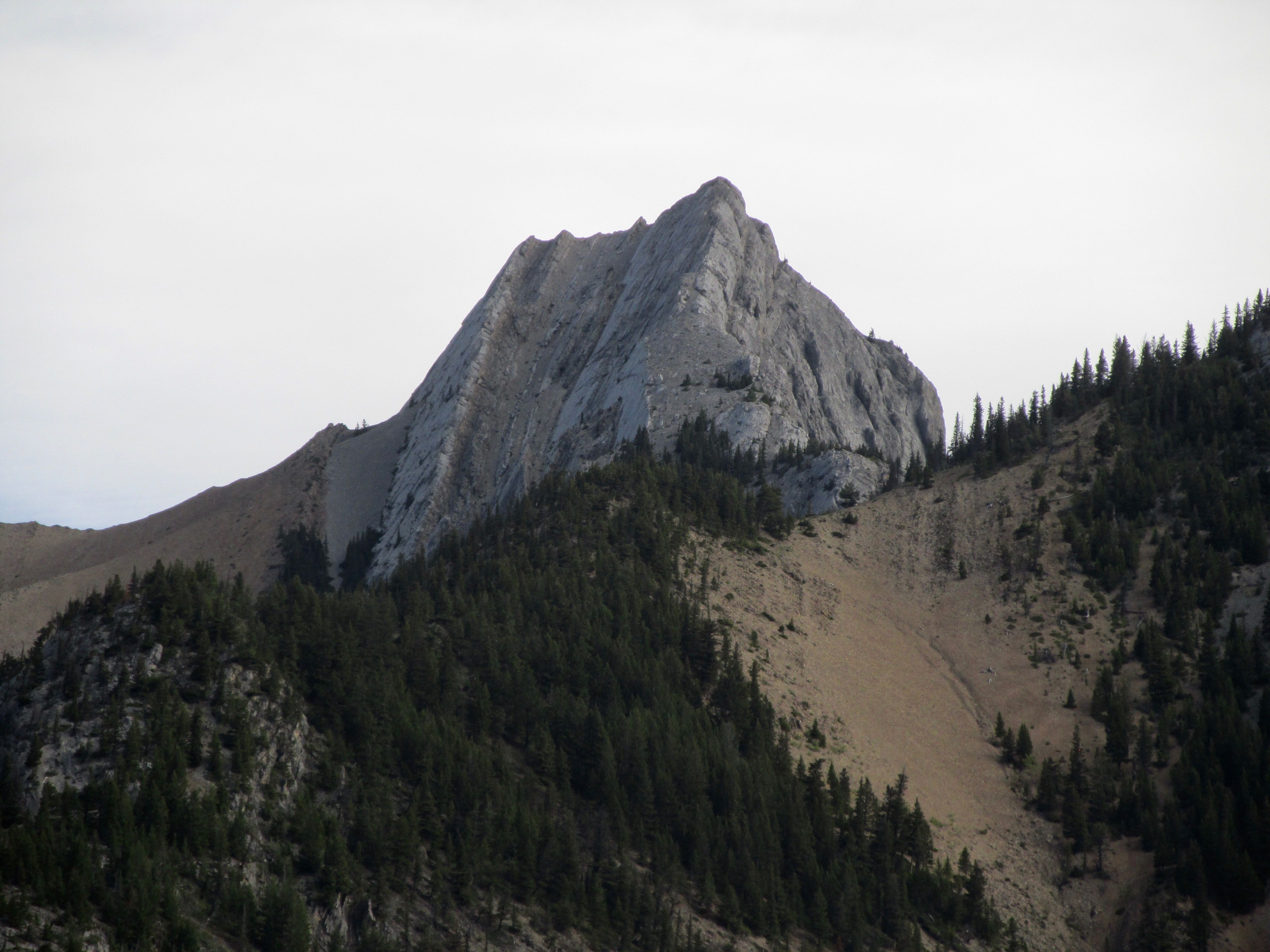
Wasootch Peak-View of Mary Barclay's Mtn, the original objective

Wasootch Peak-View of Kananaskis River crossing and why we didn't
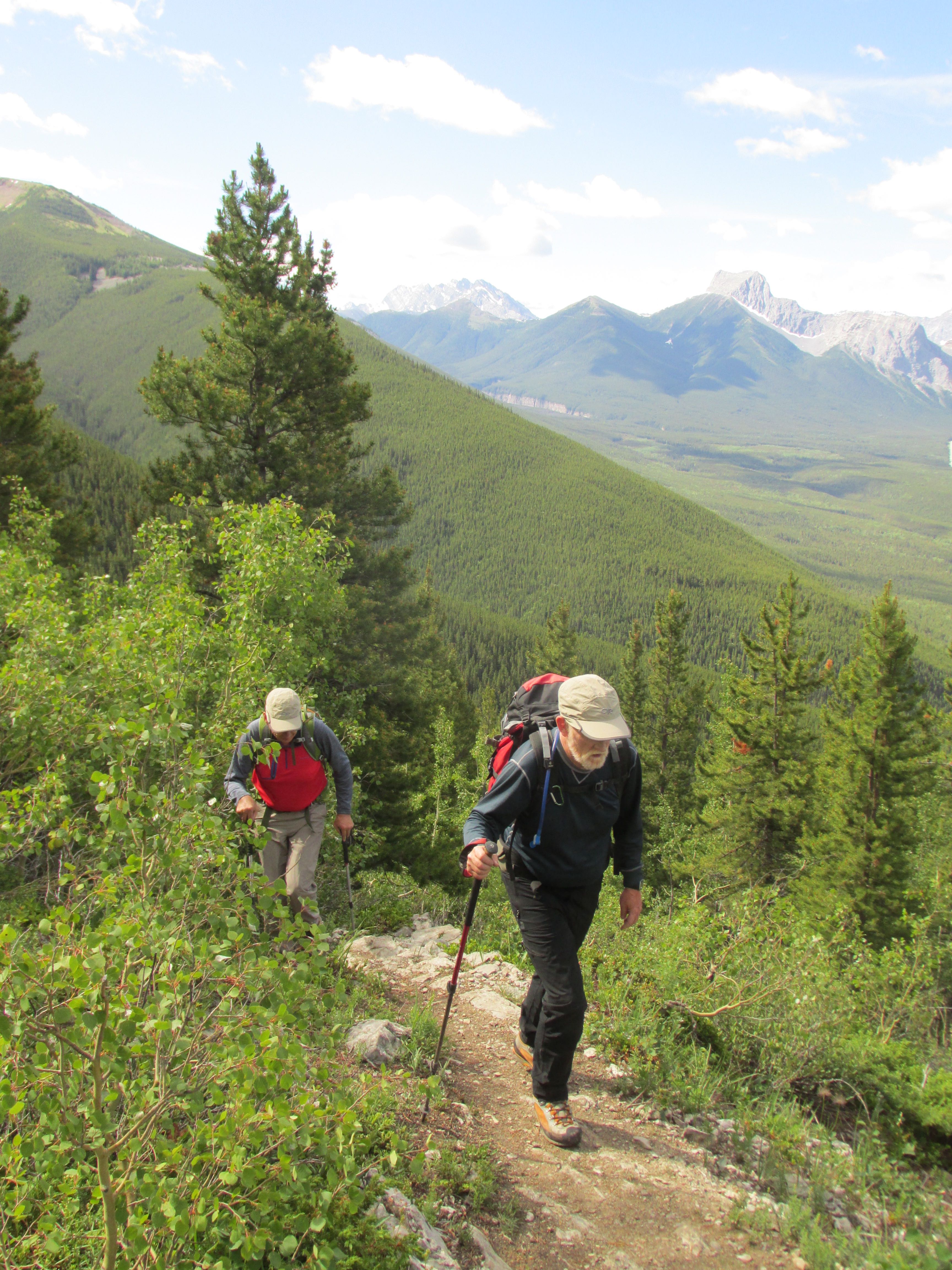
Wasootch Peak-Greg and Terry on the steady climb
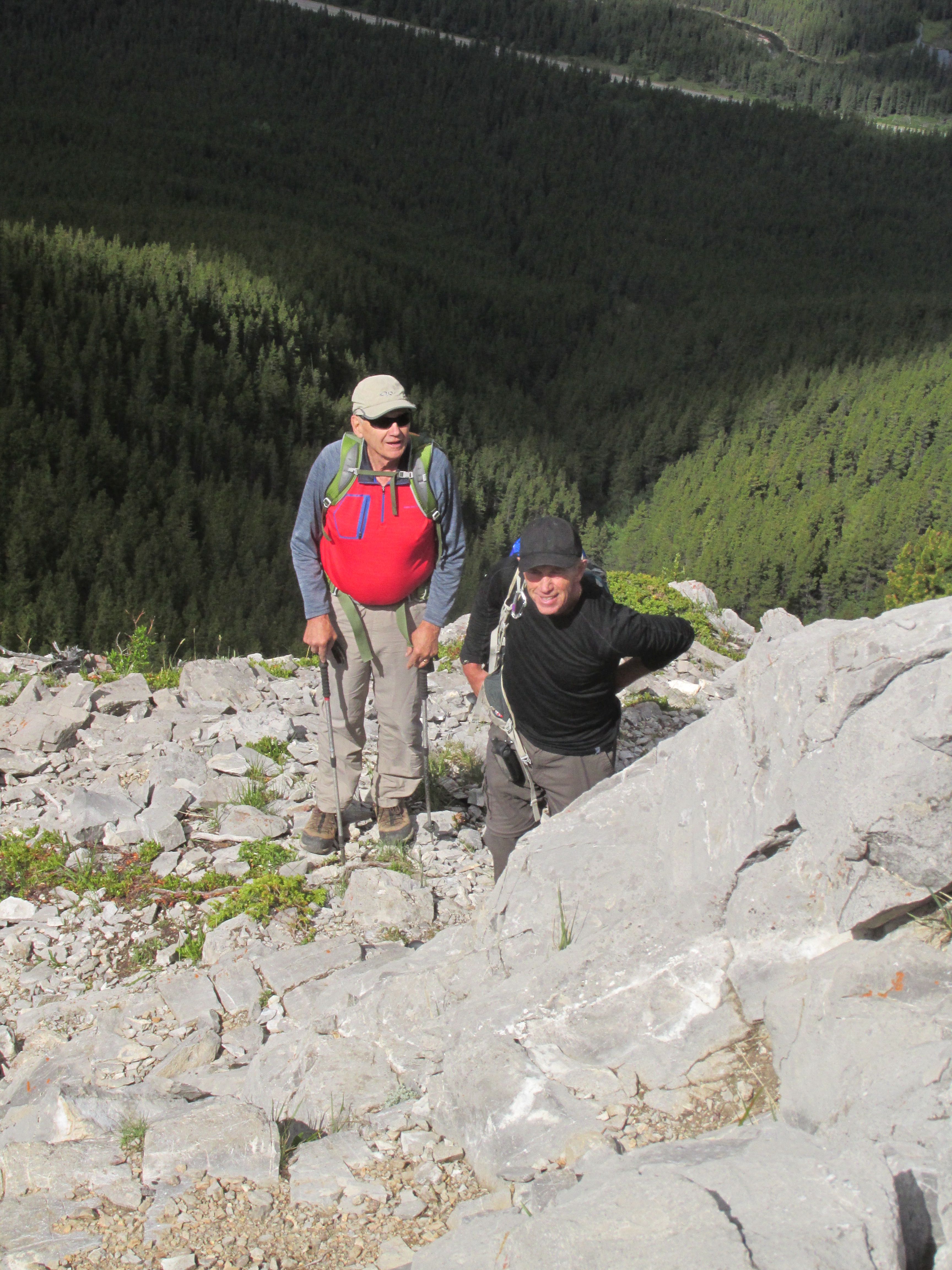
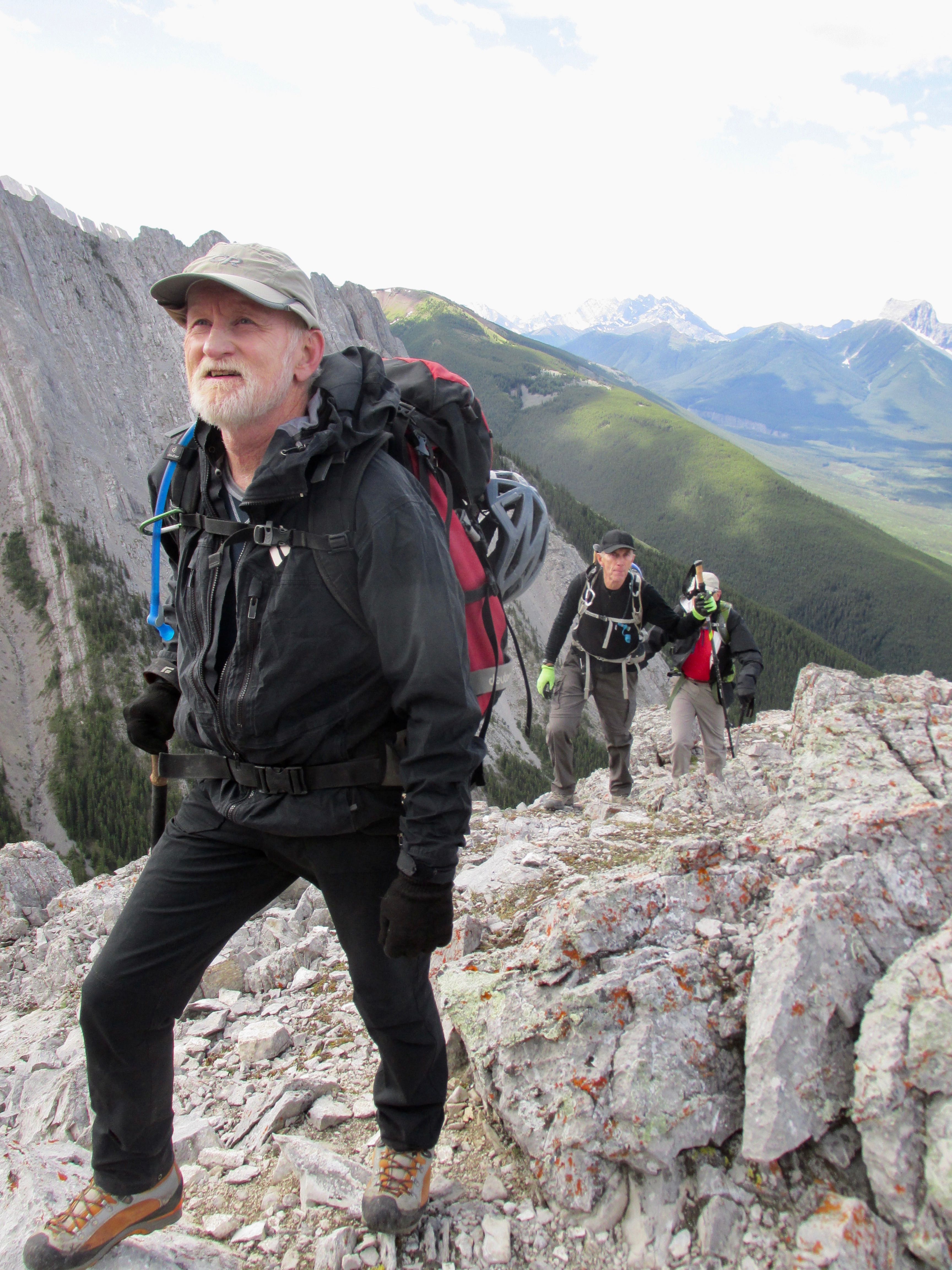
Wasootch Peak-Bruce and Terry eye the rocky bits
Wasootch Peak-Greg, Bruce and Terry nearing the summit
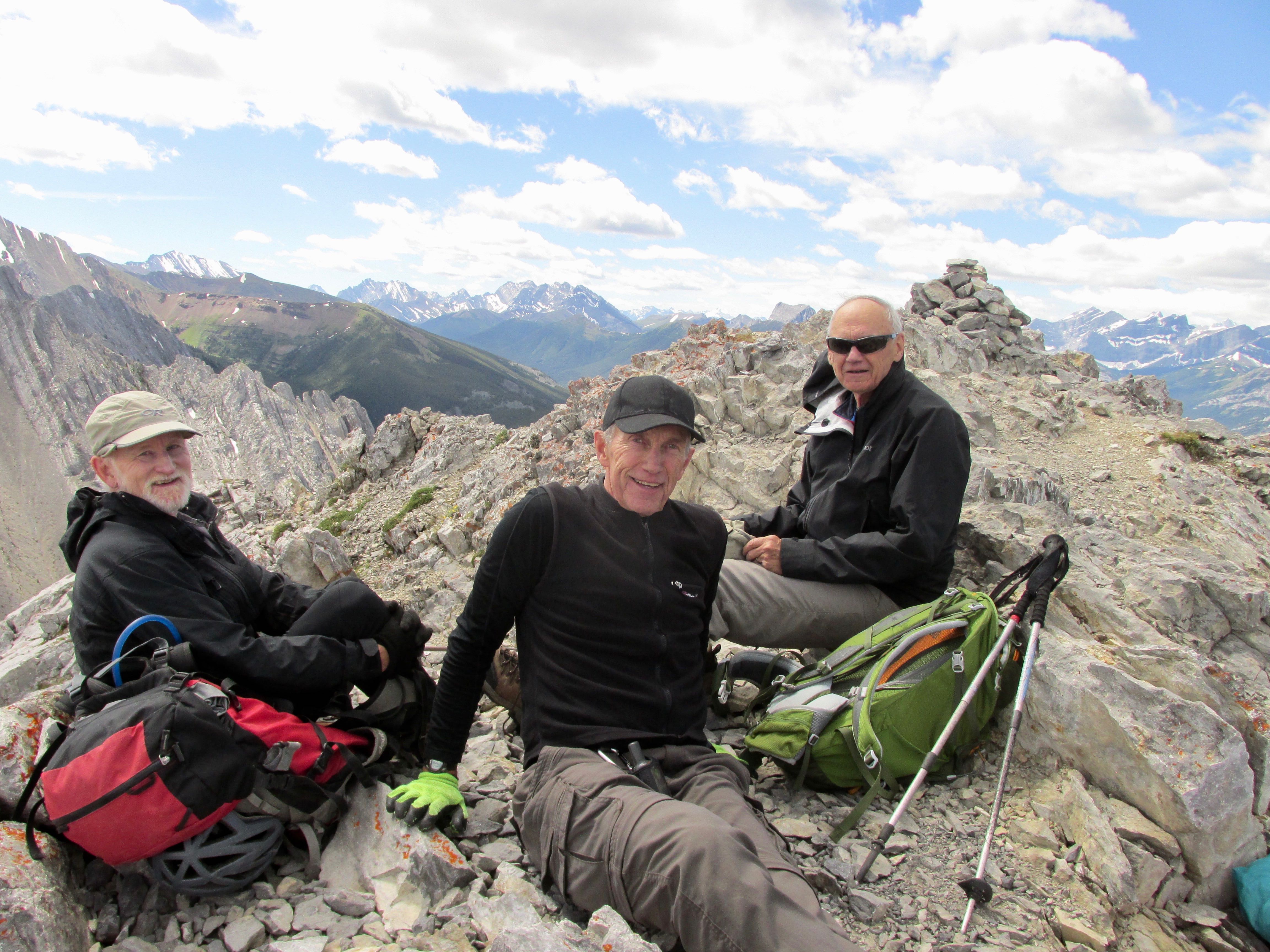
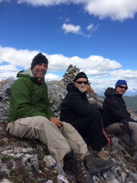
Wasootch Peak-Three happy guys at the summit
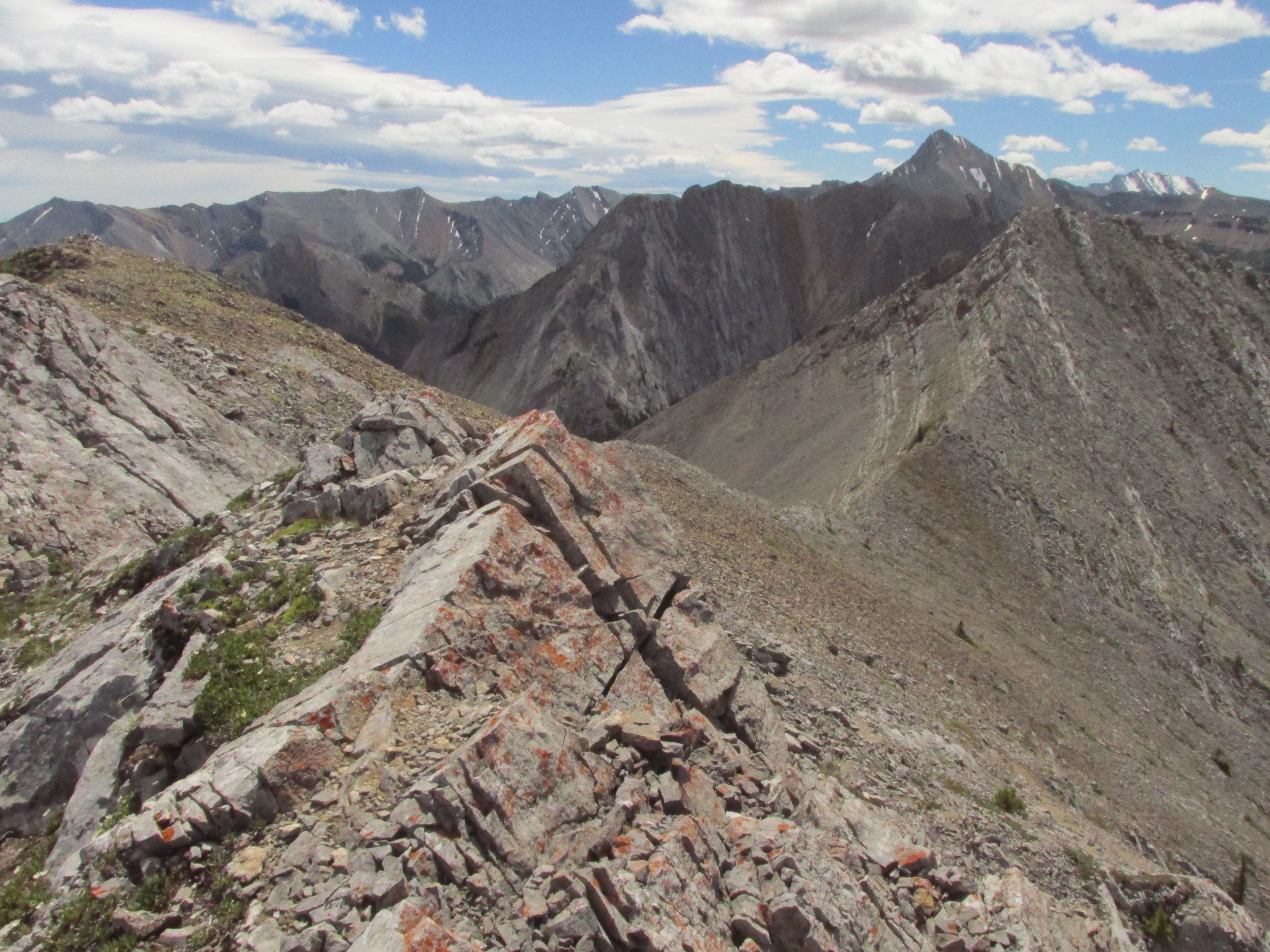
Wasootch Peak-North and south peak connecting ridge
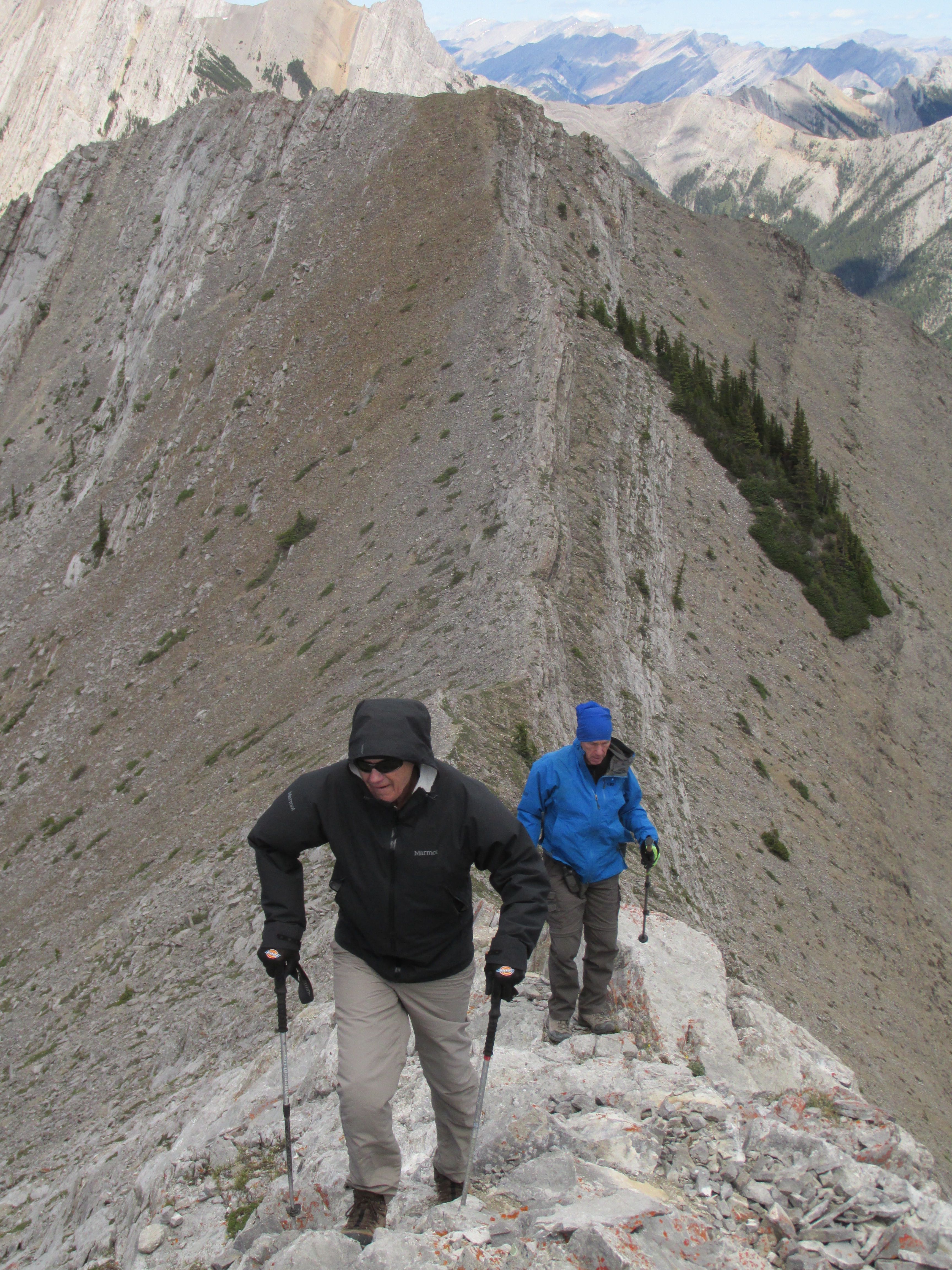
Wasootch Peak-Bruce and Terry on the return
Participants: Terry,Greg,Chip,Bruce