For the most part we had a beautiful blue sky day with extensive views slightly marred in spots on the ridge by a strong, cool wind. Indeed the wind contributed to an "incident" which could have been expensive for the coordinator at lunch - of which more later. Fortunately for quite a bit of the trip we were on the east side of the ridge or the east side of the false summit which kept the wind reasonable.
I originally posted South Kidd for this trip which I had to cancel as the Galatea creek trail is closed as I was made aware of by Francisco. Thanks Francisco.
We left the trailhead just after 9:00 am and were soon climbing through mild bush to the ridge. Once on the ridge we got a view of our objective and the false summit which is bypassed on it's highest bench.
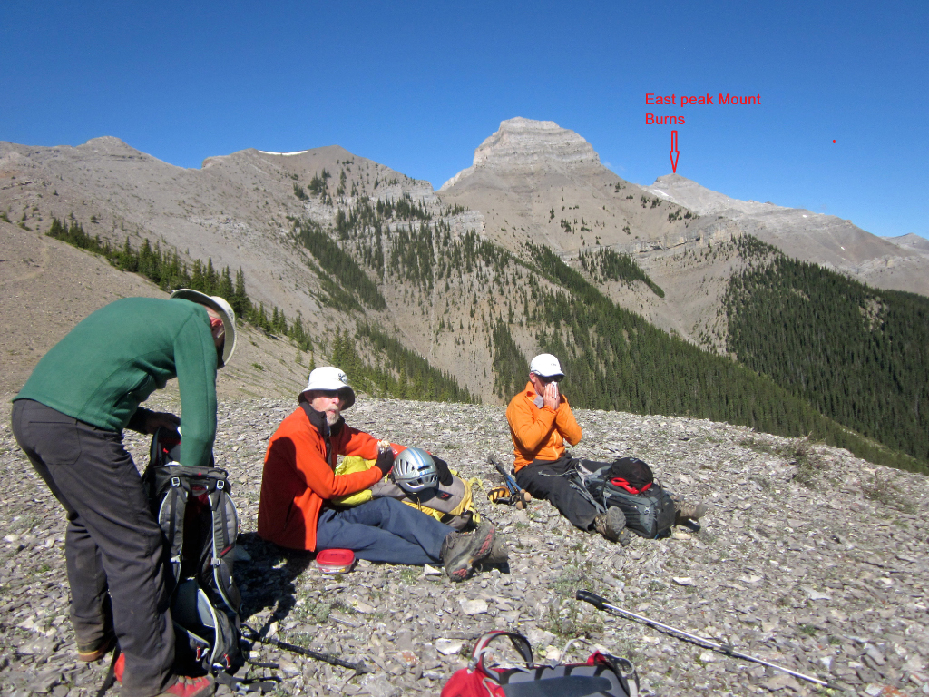
Rest stop after gaining the ridge and seeing our objective (click for full size)
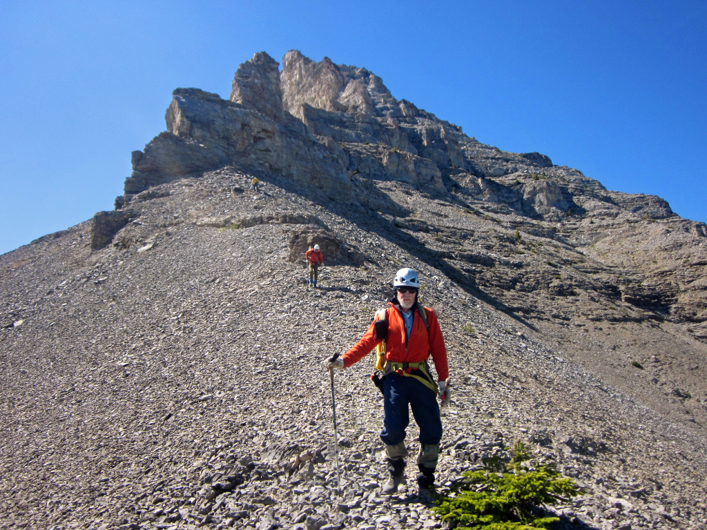
Arnold Descending below false summit
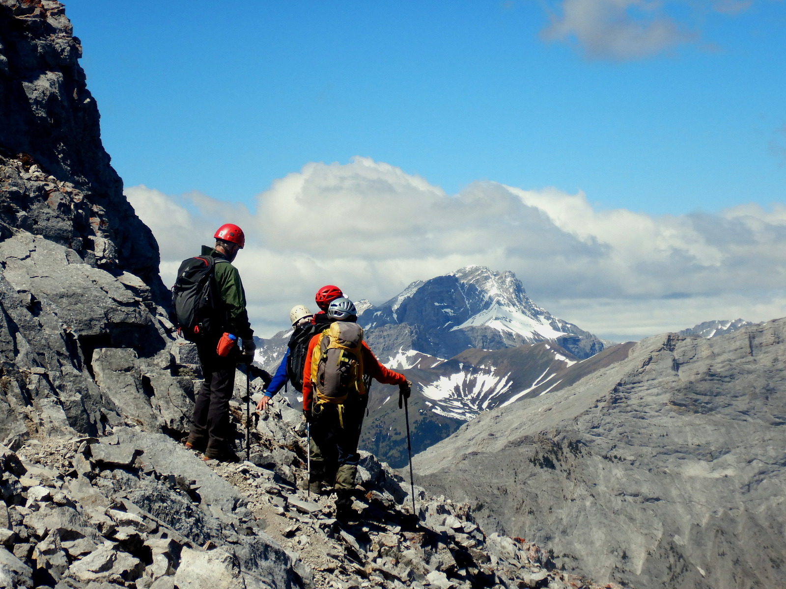
Looking at final ridge to East Peak of Burns (Mount Rae in background)
Looking SE to false summit traversed around on ascent of East peak of Mount Burns
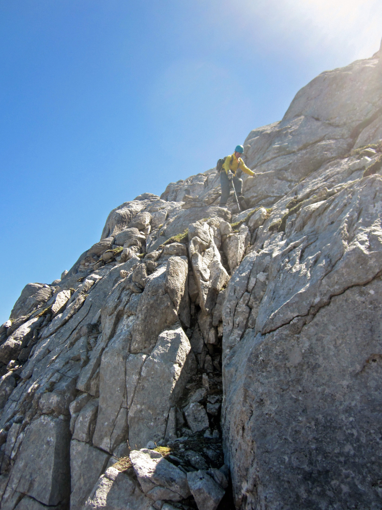
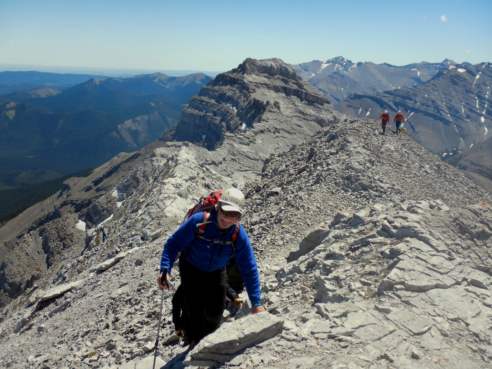
David on crux descent portion from East peak of Mount Burns
I think the first of the group were on the summit around 1:30 pm but, after a summit shot, we ducked down a bit more into the lee to get out of the worst of the wind for lunch.
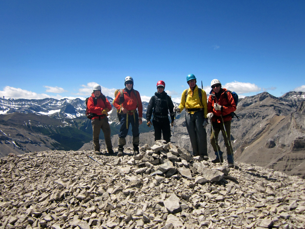
Bill, Arnold, Jack, David and Manfred on summit East peak Mount Burns
After lunch we returned more or less the way we came with a few rest stops and botanical breaks.
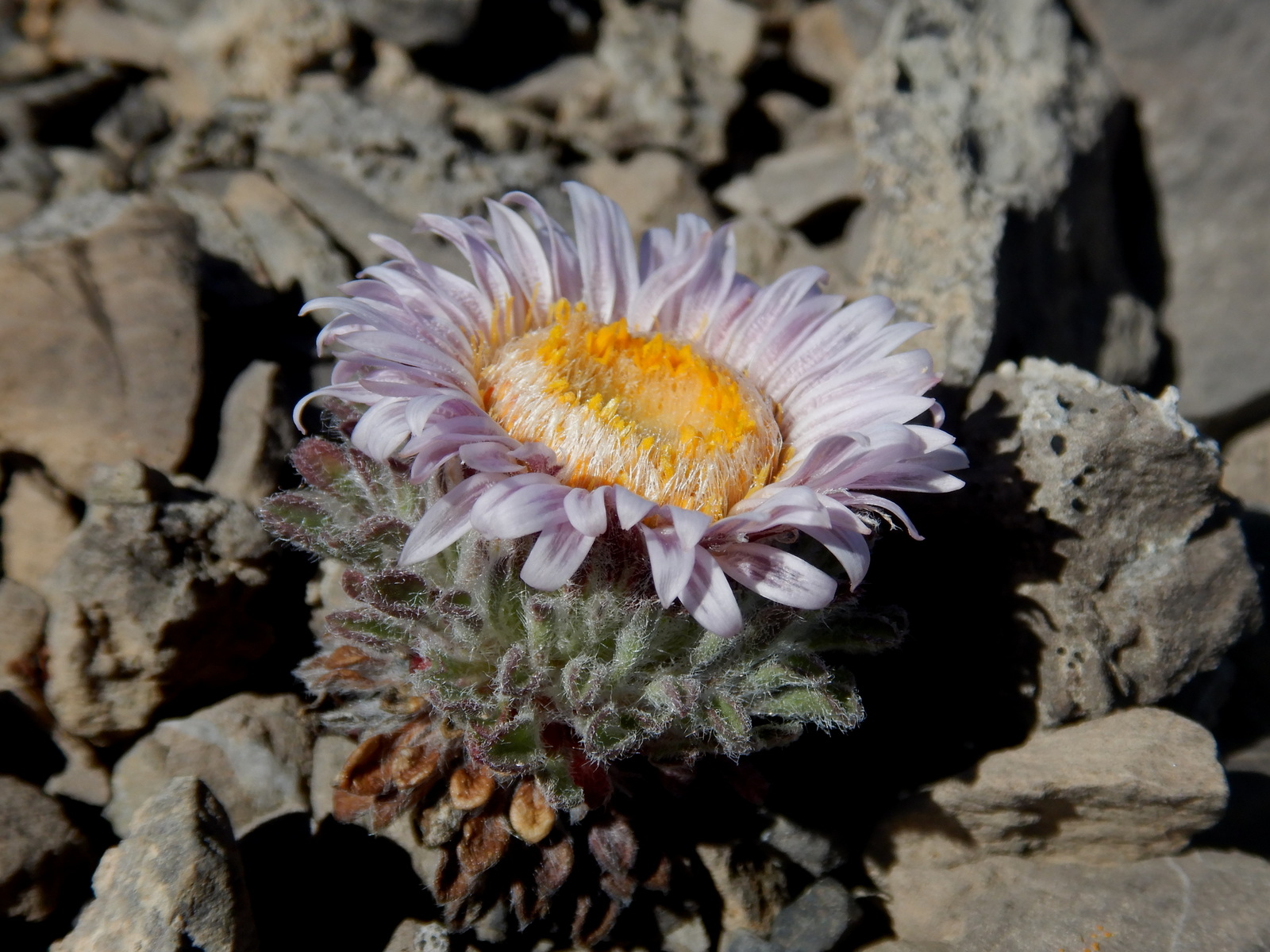
Cushion Townsendia (Townsendia condensata).
Thanks to Bill,David,Arnold,Manfred,Damian and Jack for good company and help route finding from John. Special thanks to Jack for rescuing my pack and gear and Bill for some photos.