It was a little crowded on the summit with a four person "Bootleg" Rambler trip as well as six on our "Authorized" trip! And the bootleggers even beat us to the summit (by leaving earlier).
We (the "Authorized Edition" that is) set out up the well-defined trail up Gunnery Creek at 9:50. Once we got to the pass we followed the trail down the other side and in the end muddled about below the treeline on horse or game trails for a significant amount of time, generally following Spirko's GPS track. Once we got up and out of the trees and elected to climb up to the NE ridge we saw that there seemed to be a goat trail that led very nicely directly into the bowl east of Holy Cross on the other side of the valley! Once up on the ridge (around 11:45) we stopped for a second breakfast/early lunch break. We had already seen several people ahead of us on the ridge. As it turned out a couple were a little ahead of the other group of Ramblers. In any case we set out to follow them.
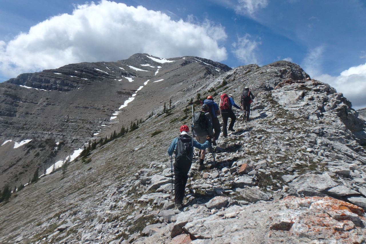
Starting up the NE ridge of Holy Cross Mtn
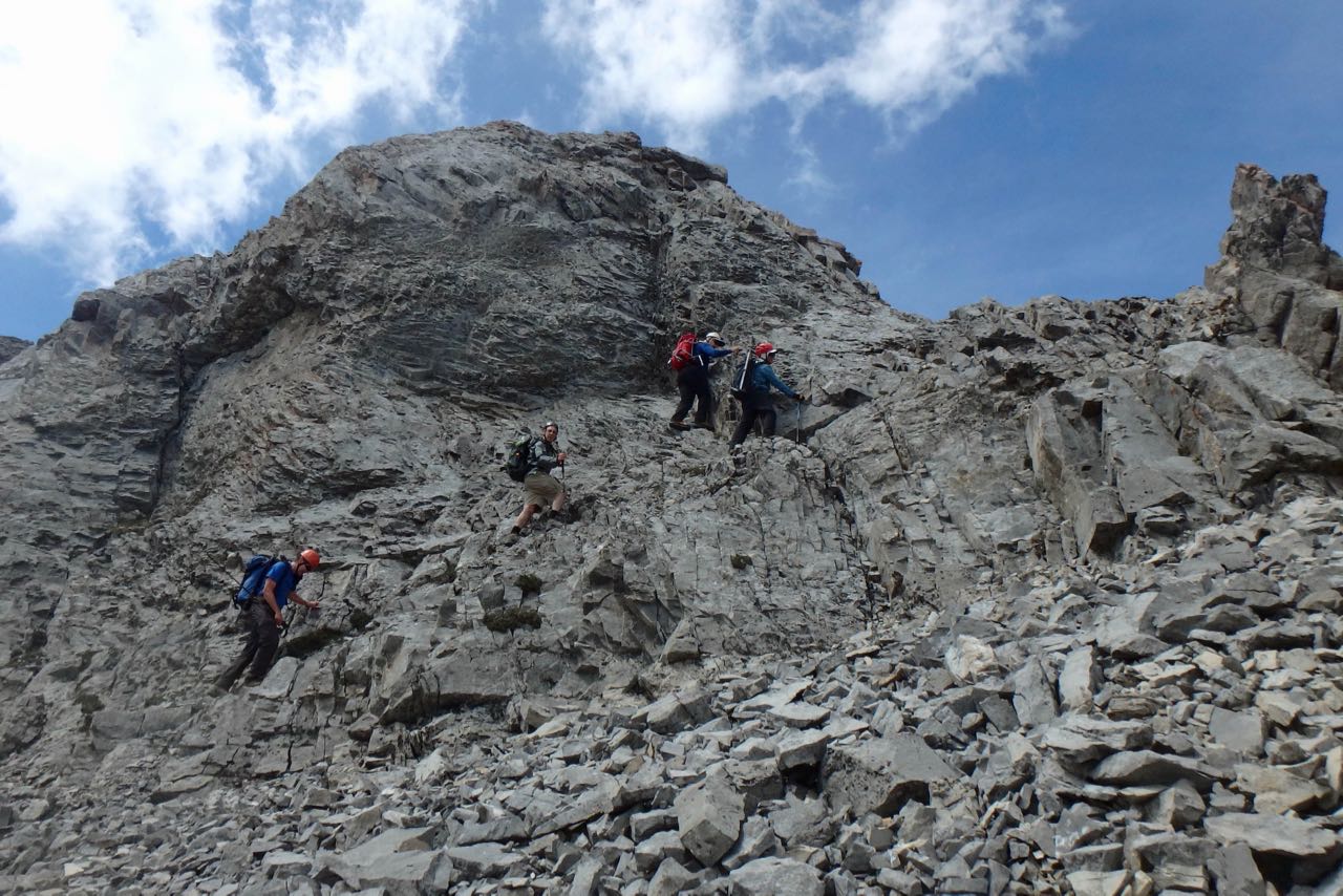
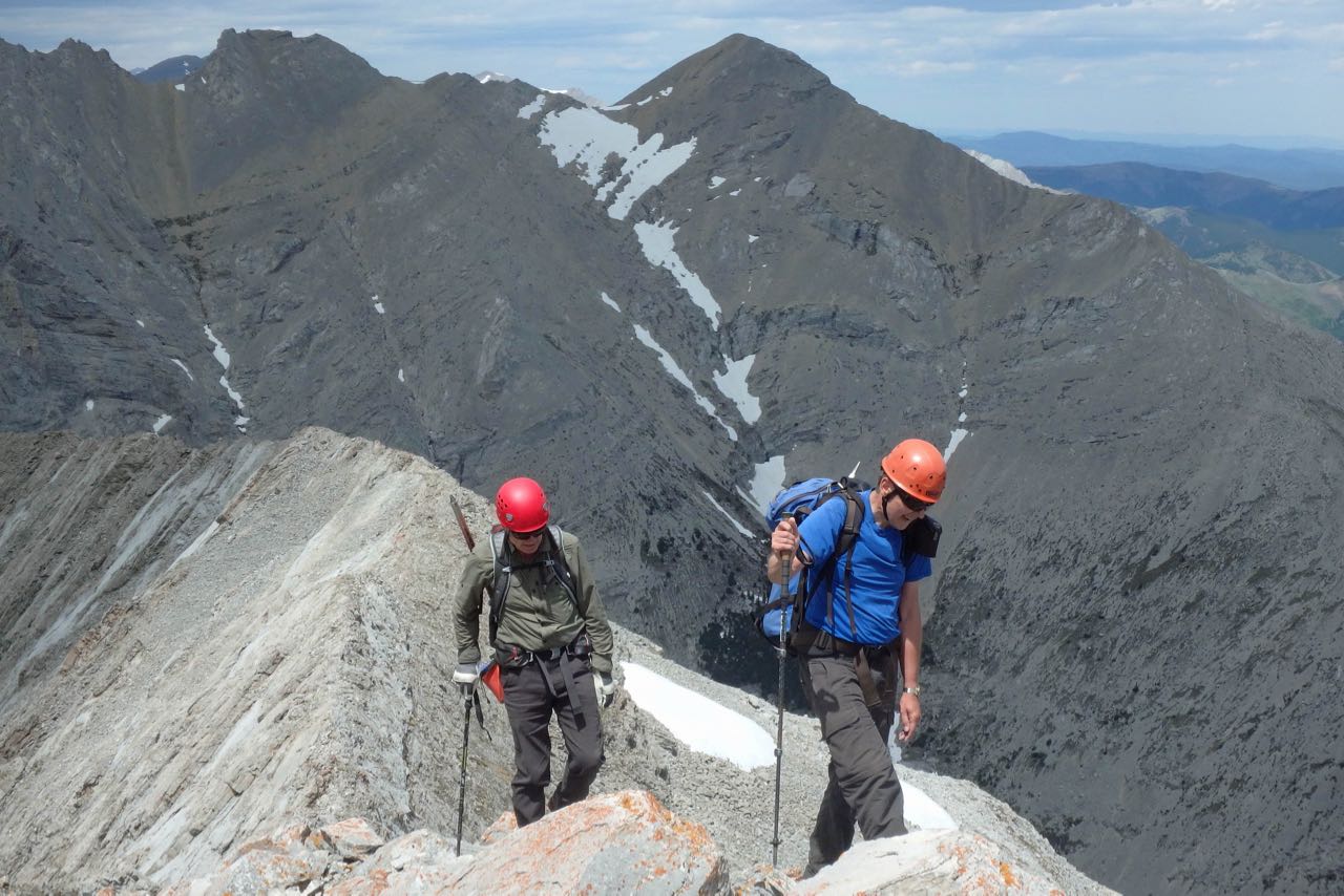
Some Scramble 6 on the NE ridge of Holy Cross
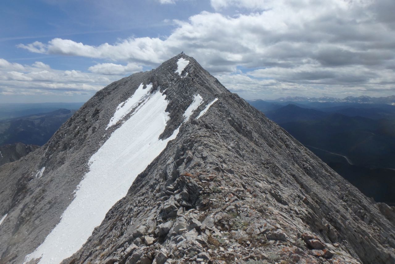
Summit ridge of Holy Cross
The dastardly "Bootleggers" (or Rejects?) on the summit
Last steps to the summit (Mt Head in bkg)
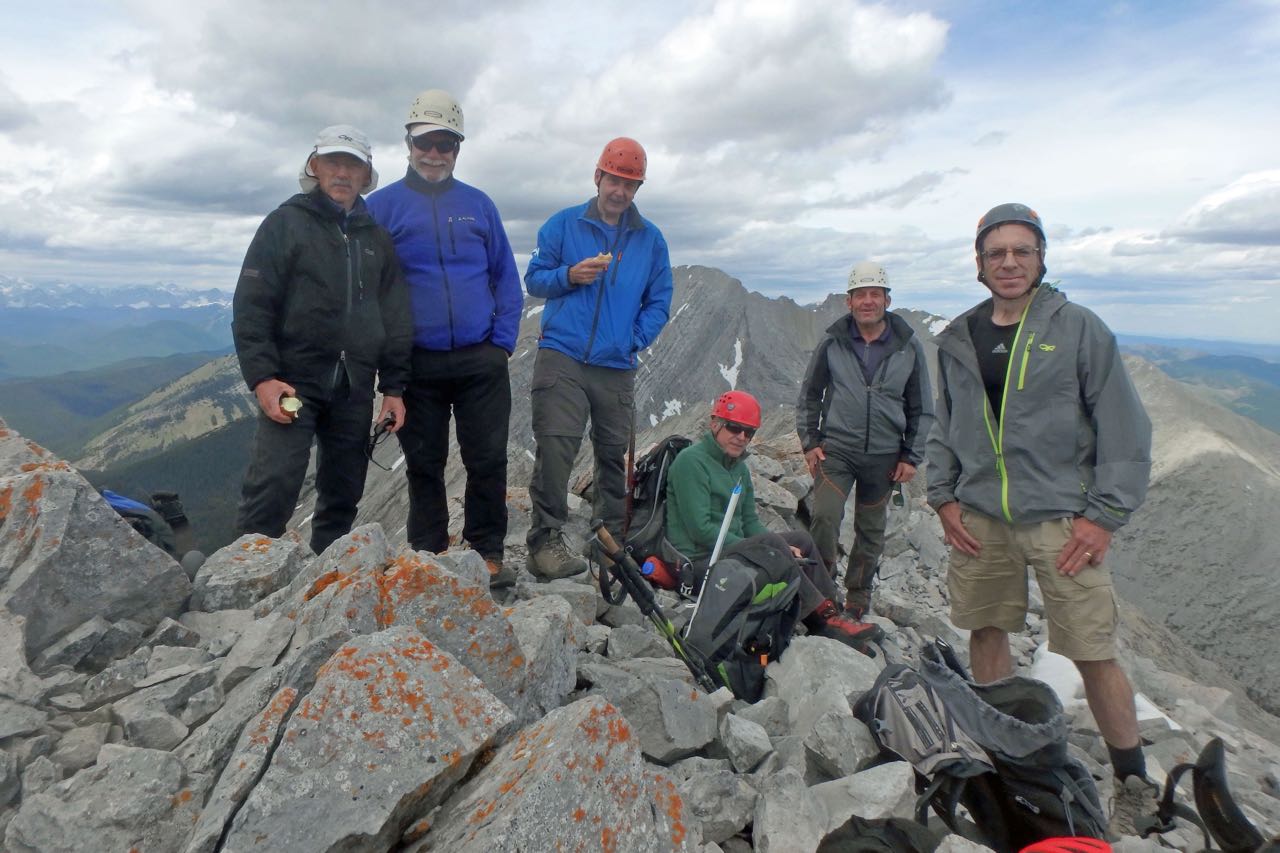
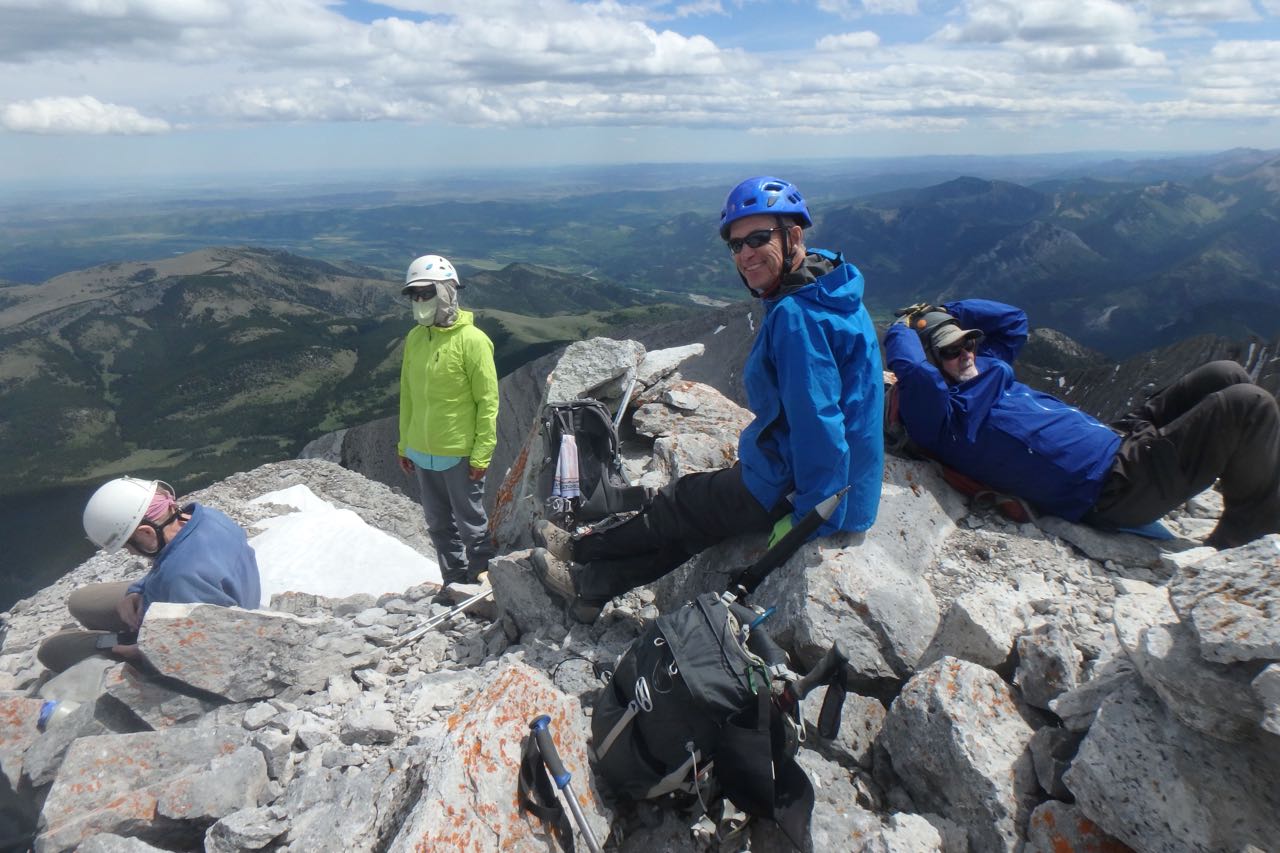
Jack, John, Pat, Damian, Carl and Gary on the summit of Holy Cross Mountain
We pretty much cought up with the other group back at the cars at around 4:40 (for a 7 hour trip).
Many thanks to participants John,DamianG.,Jack, and Gary for joining me Carl (C/S).
And apologies to the many Ramblers who signed up or phoned me, but whom I couldn't take and still keep the group to a good size for a scramble. Sorry, Carl