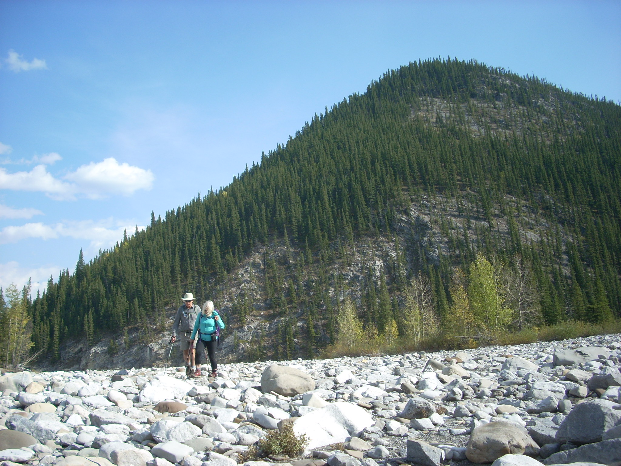
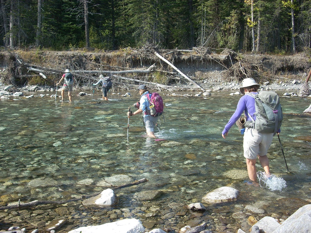
This trip had been on my ‘to do’ list for a very long time. I don’t know why I waited so long. It is a very enjoyable hike which we did as a loop. We parked at the Beaver Ponds parking lot where we waded across the Elbow River. It was knee deep and very chilly in the morning but mildly enjoyable for our feet on the return journey.
After putting on our boots, we hiked toward the beginning of the ridge where it meets a very washed out road. The route one chooses to hike up the deep moss covered east side to the ridge crest is a personal choice.
We walked around to the left of this ridge before ascending
When I do this trip again, I will veer more to the right soon after starting to ascend and reach the ridge crest much earlier than we did today. There is a trail we encountered on the ridge crest when we did reach it and I suspect it starts much lower down.
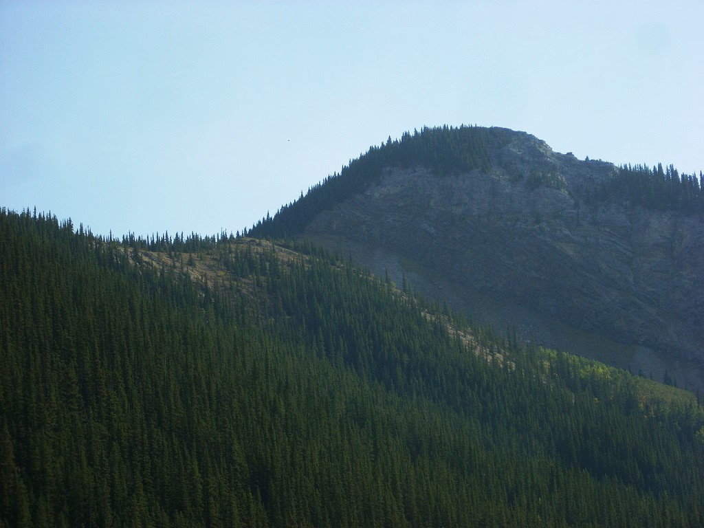
The first section of the ridge is initially steep but then flattens with great views (someone cut down lots of trees here) before rising steeply to the top part of the Iyarhe Ipan ridge. There is a very good trail going through the trees before you top out at the impressive cliff face of the ridge.
good trail through trees on the left
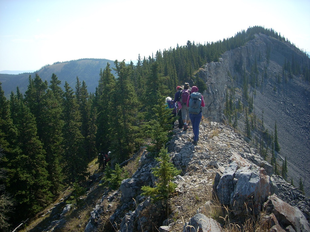
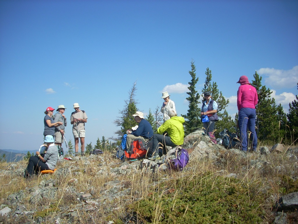
A reasonable trail can be followed to the end of the cliffy area where we stopped for our first lunch with a clear view up the Big Elbow River and the mountains on either side. We left the cars at 10:00am and were admiring the views at this spot just before noon.
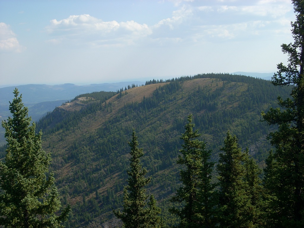
Cliffy ridge edge with trail in trees - Swany's ridge visible on the left
The second part of this hike involved descending the south section of the ridge over bits of deadfall in places as we headed toward Swany’s ridge. This is a ridge to the east paralleling the Elbow River. After following the ridge down a fair ways, we found an animal trail that lead us the col with a few bits of orange flagging dangling from branches. From there we headed straight up Swany’s ridge until we topped out at a clearing with views toward Prairie Mt.
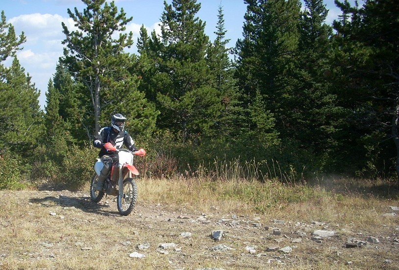
It was quite a surprise to see a large group of dirt bikers about 100 meters further along this ridge. They may have been just as surprised to see us. Unbeknownst to me there is a very well-travelled off trail vehicle path along this ridge starting from somewhere in the McLean Creek area.
One of a group of bikers we encountered on Swany's ridge
second lunch break on Swany's ridge
After they vroomed away, we hiked to where they had gathered then descended left down a grassy section before following an animal trail that traversed right. It lead us to a descending ridge where we followed animal trails most of the way down before we reached the gas plant at the bottom.
Swany's ridge - We descended the meadow in the middle of the photo.
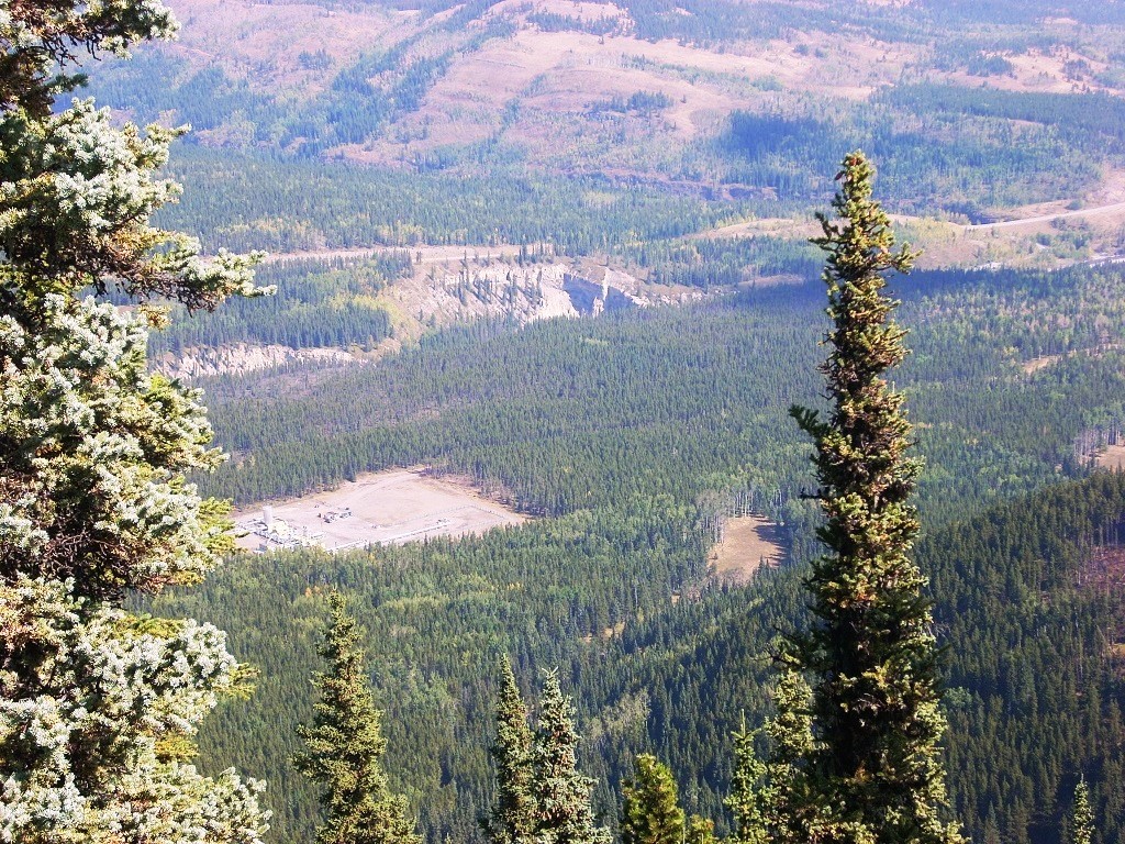
gas plant at the bottom of Swany's ridge
Beside the gas plant is a road we followed to where we had started to ascend the ridge. Before the flood of 2013, I remember seeing ATVs who had taken this road to the edge of the river across from Elbow Falls. This area is much quieter now since the flood washed out a large section of this road.
We were back at the cars around 4:30pm. This is a very pleasant hike shared with a congenial group of Ramblers, none of whom had done this loop before and few had been up the ridge.
Crossing back at the end of the day
Elevation gain to Iyarhe Ipan summit is about 420m and including the ridge top of Swany’s ridge is about 550m. Total distance is 8.2km.
Participants: Rosanne,Philip,Yolande (c/s),Francisco,Alda,Cordula,Shirley,Janice,Nardi,Christine,Teresa,Lenard,Katrin,Simon